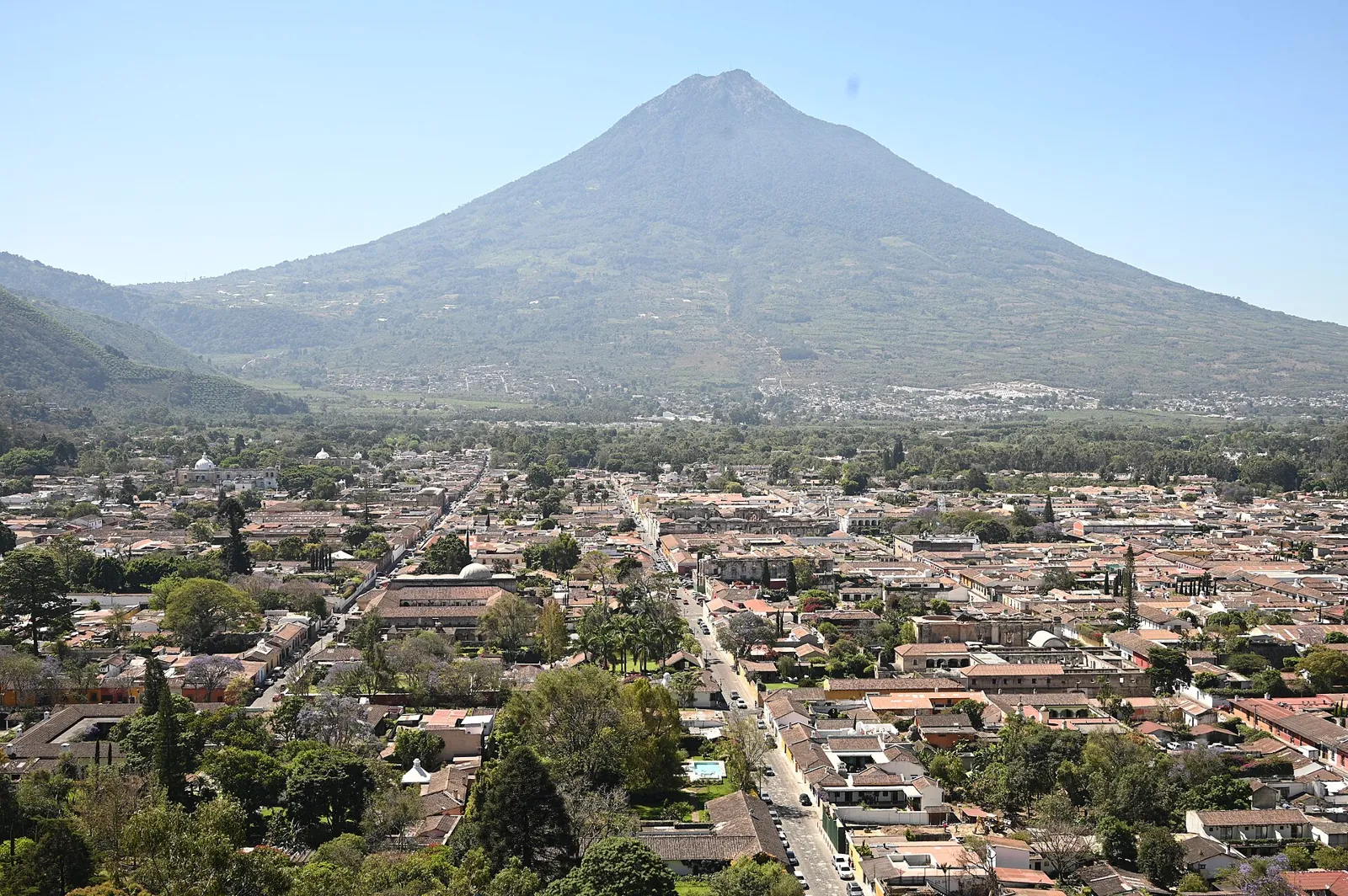
Earthquakes in Guatemala Today

Guatemala lies where three plates meet: the Cocos plate subducts beneath its Pacific coast, while the Motagua and Polochic faults mark the boundary between the North American and Caribbean plates. The 1976 Motagua earthquake (Mw 7.5) killed around 23,000 people.

Danger Level (72h)

72-hour composite hazard forecast

30%

Recent Quakes (30d)

Recorded in the last 30 days

116

Max Magnitude (30d)

Largest earthquake in the last 30 days

M5.6
Last 24 hours
1
Strongest M3.5
Last 7 days
35
Strongest M5.6
M4.5+
3
Average depth
23.9 km
Energy released
0.3 × Hiroshima
Population within 150 km of Guatemala City
10,036,613
Strongest in 12 months
5.8

Quezaltenango, Guatemala

11mo ago•143 km•Felt by about 12,562,429 people

Interactive Seismic & Fault Map
LIVE
Nov 15, 11:18:54 AM
18 networks

Recent earthquakes

20
Showing the last 30 days
3.5m
Off the coast of Escuintla (95 km S, Guatemala)
13h ago•30 kmshallow
EMSC
2.9m
52 km SE of Guatemala City (Guatemala)
1d ago•9 kmshallow
EMSC
3.6m
Near Zacapa (Guatemala)
1d ago•6 kmshallow
EMSC
2.5m
Off the coast of Escuintla (93 km S, Guatemala)
1d ago•5 kmshallow
EMSC
3.6m
Off the coast of Sonsonate (70 km SW, El Salvador)
1d ago•20 kmshallow
EMSC
3.0m
36 km S of Guatemala City (Guatemala)
2d ago•198 kmdeep
EMSC
3.2m
Near Zacapa (Guatemala)
2d ago•2 kmshallow
EMSC
2.9m
Off the coast of Escuintla (85 km S, Guatemala)
3d ago•1 kmshallow
EMSC
3.8m
Off the coast of Ahuachapán (54 km SW, El Salvador)
3d ago•77.4 kmdeep
EMSC
3.2m
Off the coast of Escuintla (81 km SW, Guatemala)
3d ago•12 kmshallow
EMSC
2.5m
53 km SE of Guatemala City (Guatemala)
3d ago•5 kmshallow
EMSC
2.8m
Off the coast of Mazatenango (95 km S, Guatemala)
3d ago•20 kmshallow
EMSC
2.9m
54 km SE of Guatemala City (Guatemala)
4d ago•5 kmshallow
EMSC
3.4m
52 km SE of Guatemala City (Guatemala)
4d ago•7 kmshallow
EMSC
2.5m
26 km S of Jutiapa (Guatemala)
4d ago•7 kmshallow
EMSC
3.4m
Off the coast of Escuintla (99 km S, Guatemala)
4d ago•6 kmshallow
EMSC
3.4m
63 km S of Mazatenango (Guatemala)
4d ago•33 kmshallow
EMSC
4.8mww
Off the coast of Escuintla (76 km S, Guatemala)
4d ago•58.5 kmintermediate
USGS
5.6mww
Off the coast of Escuintla (85 km S, Guatemala)
4d ago•35 kmintermediate•20 felt
USGS
2.6m
54 km SE of Guatemala City (Guatemala)
5d ago•4 kmshallow
EMSC

Counts cover the seismic belts this platform monitors in Guatemala, not its administrative borders. A monitored belt can reach across a border, and events there are listed with the country of their epicentre.

Monitored regions

Volcanoes of Guatemala

3 dedicated profiles · 20 Holocene volcanoes in total

2026
Fuego
Stratovolcano•3.8 km
Details
2021
Pacaya
Complex volcano•2.6 km
Details
2026
Santa María
Stratovolcano•3.7 km
Details
1986
Tacana
Stratovolcano•4.1 km
1972
Acatenango
Stratovolcano•4.0 km
1853
Atitlan
Stratovolcano•3.5 km
1818
Almolonga
Stratovolcano•3.2 km
960 BCE
Tecuamburro
Stratovolcano•1.8 km
—
Tajumulco
Stratovolcano•4.2 km
—
Toliman
Stratovolcano•3.2 km
—
Agua
Stratovolcano•3.8 km
—
Cuilapa-Barbarena
Volcanic field•1.5 km
—
Jumaytepeque
Stratovolcano•1.8 km
—
Moyuta
Stratovolcano•1.7 km
—
Flores
Volcanic field•1.6 km
—
Tahual
Stratovolcano•1.7 km
—
Santiago, Cerro
Volcanic field•1.2 km
—
Suchitan
Stratovolcano•2.0 km
—
Chingo
Stratovolcano•1.8 km
—
Ixtepeque
Lava dome•1.3 km
Catalogue: Smithsonian Institution, Global Volcanism Program.Volcanoes of the World

Tectonic setting

Guatemala lies where three plates meet: the Cocos plate subducts beneath its Pacific coast, while the Motagua and Polochic faults mark the boundary between the North American and Caribbean plates. The 1976 Motagua earthquake (Mw 7.5) killed around 23,000 people.

Fault systems:Motagua FaultMotagua FaultMiddle America Trench
National seismic network
INSIVUMEHInstituto Nacional de Sismología, Vulcanología, Meteorología e Hidrología
Emergency number
119CONRED (police 110)

Frequently asked questions

How often do earthquakes occur in Guatemala?

Our catalogue recorded 116 earthquakes across the 1 seismic belts monitored in Guatemala over the last 30 days, the strongest reaching M5.6.

Why are there so many earthquakes in Guatemala?

Guatemala lies where three plates meet: the Cocos plate subducts beneath its Pacific coast, while the Motagua and Polochic faults mark the boundary between the North American and Caribbean plates. The 1976 Motagua earthquake (Mw 7.5) killed around 23,000 people.

What is the emergency number in Guatemala?

The emergency number in Guatemala is 119, answered by CONRED (police 110). After strong shaking, keep the line free for those trapped or injured and check official channels for aftershock and tsunami advisories.

Who monitors earthquakes in Guatemala?

The national seismic authority is Instituto Nacional de Sismología, Vulcanología, Meteorología e Hidrología (INSIVUMEH). EarthquakeLive cross-checks its bulletins against 18 international networks, so an event may appear here with a slightly different magnitude until the agencies converge on a final solution.