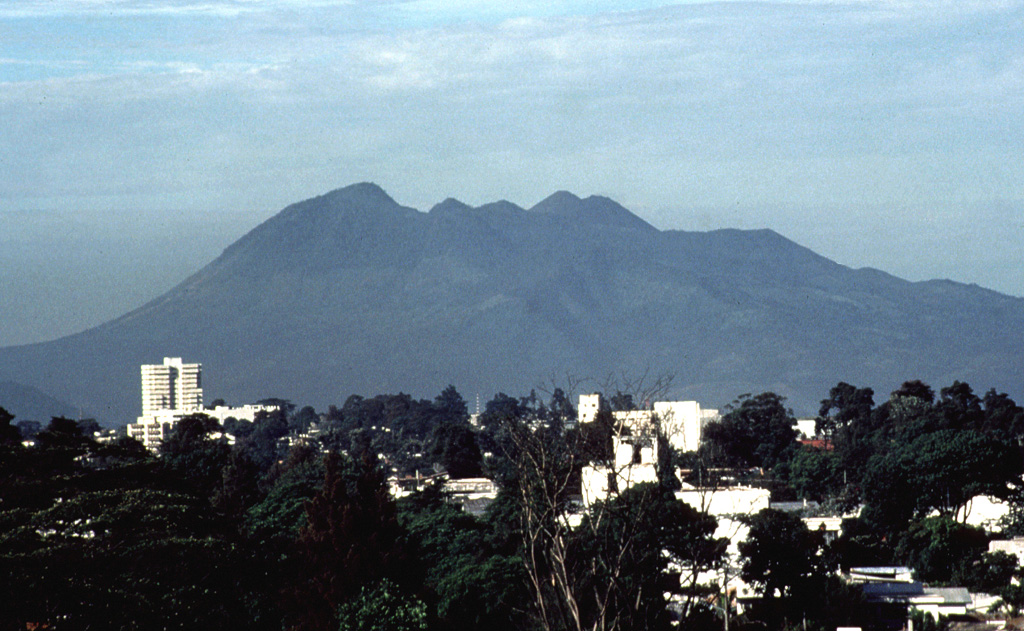
Volcano Pacaya
A frequently active cone about 30 km south of Guatemala City, popular with hikers who come to see lava. Its 2010 eruption covered the capital with ash and closed the international airport, and in 2021 months-long lava flows threatened villages on its flanks.
Last eruption
Erupted since 2000
Summit
Complex volcano · Basalt / Picro-Basalt
Activity
0 events (1.0x rate)
Interactive Volcano & Seismicity Map
Seismicity within 50 km radius, active VAAC ash plumes, and tectonic plate boundaries.
Recent seismicity within 50 km
0 events in the last 12 h within 25 km of the crater.
| Time | Magnitude | Epicenter / Place | Distance |
|---|---|---|---|
| 15h ago | M2.6 | GUATEMALA (INET) | 45 km |
| 21d ago | M3.1 | GUATEMALA (INET) | 48 km |
| 26d ago | M3.2 | GUATEMALA (INET) | 48 km |
| 34d ago | M2.5 | GUATEMALA (INET) | 13 km |
| 36d ago | M2.6 | GUATEMALA (INET) | 48 km |
| 36d ago | M2.9 | GUATEMALA (INET) | 18 km |
| 39d ago | M2.7 | GUATEMALA (INET) | 27 km |
| 67d ago | M2.7 | GUATEMALA (INET) | 15 km |
| 67d ago | M2.8 | GUATEMALA (INET) | 45 km |
| 68d ago | M2.6 | GUATEMALA (INET) | 42 km |
| 68d ago | M3.3 | GUATEMALA (INET) | 16 km |
| 81d ago | M2.6 | GUATEMALA (INET) | 20 km |
Geological & Tectonic Profile
Complex volcanoPacaya is an active Complex volcano formed in an active Subduction zone / Continental crust (> 25 km). Dominant lithology: Basalt / Picro-Basalt.
Volcano Dossier
VN #342110Official catalogue parameters, coordinates, elevation and geotectonic classification.
Authoritative Monitoring Infrastructure
Frequently Asked Questions (FAQ)
Verified scientific, operational, and emergency protocols
Catalogue: Smithsonian Institution, Global Volcanism Program.Smithsonian GVP profile