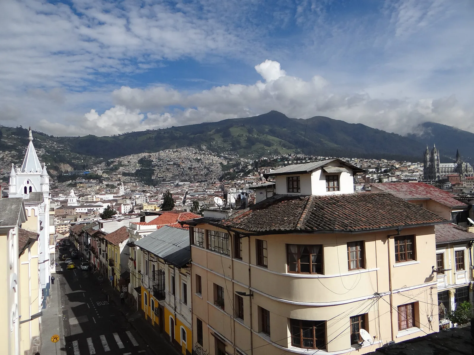
Earthquakes in Coastal Ecuador and Quito Today

Ecuador's coastal provinces lie above the megathrust that ruptured in 2016 near Pedernales (Mw 7.8), while Quito sits on an active thrust fault in the Andean highlands. The region combines subduction earthquakes, crustal faults and volcanic unrest.

Danger Level (72h)

72-hour composite hazard forecast

56%

Recent Quakes (14d)

Recorded in the selected 14d period

18

Max Magnitude (14d)

Largest earthquake in the selected 14d period

M5.4

Tectonic Profile

Seismotectonic hazard assessment, structural exposure & historical context

Associated Faults3

Click to locate on map

Regional PopulationLandScan

19.4M

Living within seismically active radius (~300 km)

Building VulnerabilityHigh

High

Unreinforced masonry or non-ductile structures vulnerable to shaking

Tectonic Setting

Subduction Zone

High Hazard

Active fault boundary with frequent seismicity

MAG5.4
Most Significant Earthquake (14d)PAGER yellow

67 km SE of Tuluá (Colombia)

12d ago· Depth 10 km
Exposed Population (MMI6+)296k
Estimated Fatalities1 – 10
Filter:
•
Sort by:
••
3.2

34 km W of Tena (Ecuador)

EMSC
13 km•5h ago
4.4

77 km SW of Ibagué (Colombia)

USGS 4.4+1
9.7 km•1d ago•👥 93k
4.5

86 km SE of Tuluá (Colombia)

USGS 4.5+1
10 km•1d ago•👥 93k
3.4

74 km E of Portoviejo (Ecuador)

EMSC
59 km•1d ago
4.5

246 km W of Iquitos (Peru)

USGS 4.5+2
10 km•2d ago•👥 34k
4.1

Off the coast of Tumbes (111 km NW, Peru)

EMSC
26 km•4d ago
3.7

102 km N of Moyobamba (Peru)

EMSC
15 km•5d ago
4.4

114 km SW of Andoas (Peru)

EMSC
105 km•5d ago
5.3

235 km SW of Iquitos (Peru)

USGS 5.3+4
11.5 km•6d ago•👥 84k•yellow
4.7

Off the coast of Manta (107 km SW, Ecuador)

USGS 4.7+1
10 km•7d ago•👥 12k
3.3

28 km SW of Portoviejo (Ecuador)

EMSC
40 km•8d ago
3.8

28 km SE of Machala (Ecuador)

EMSC
6 km•8d ago
3.8

Off the coast of Talara (140 km NW, Peru)

EMSC
28 km•8d ago
3.5

28 km S of Cuenca (Ecuador)

EMSC
76 km•10d ago
3.5

174 km NE of Chiclayo (Peru)

EMSC
15 km•11d ago
5.4

67 km SE of Tuluá (Colombia)

USGS 5.4+4
10 km•12d ago•👥 296k•yellow
4.0

51 km SE of Cuenca (Ecuador)

EMSC
5 km•12d ago•👥 240k
3.6

59 km E of Chiclayo (Peru)

EMSC
13 km•13d ago
LIVE
Nov 15, 11:19:59 AM
18/ 18

Seismic Activity

Every recorded earthquake in this area — filter by time range and sort by time or severity.

M0.0M2.0M4.0M6.0Nov 3Nov 5Nov 7Nov 9Nov 11Nov 13Nov 15
Hover or tap a point for details.Current Rolling Risk: M4.0
Shallow (<35 km)Intermediate (35–70 km)Deep (>70 km)

Regional Volcanism & Monitored Vents

Active vents and Holocene volcanic structures within the monitored boundary (Coastal Ecuador and Quito) · 26

2023
Cotopaxi
Stratovolcano•5.9 km
Details
2026
Reventador
Stratovolcano•3.6 km
Details
2026
Sangay
Stratovolcano•5.3 km
Details
2016
Tungurahua
Stratovolcano•5.0 km
Details
550
Chimborazo
Stratovolcano•6.3 km
Details
2014
Galeras
Complex volcano•4.3 km
2002
Guagua Pichincha
Stratovolcano•4.8 km
1936
Chiles-Cerro Negro
Stratovolcano•4.7 km
1926
Cumbal
Stratovolcano•4.8 km
1906
Dona Juana
Stratovolcano•4.1 km
1895
Sumaco
Stratovolcano•4.0 km
1802
Antisana
Stratovolcano•5.8 km
1786
Cayambe
Compound volcano•5.8 km
1773
Chacana
Caldera•4.6 km
1280
Quilotoa
Caldera•3.9 km
650
Cuicocha
Caldera•3.2 km
290
Pululahua
Caldera•3.4 km
320 BCE
Atacazo
Stratovolcano•4.5 km
930 BCE
Azufral
Stratovolcano•4.1 km
2450 BCE
Aliso
Stratovolcano•4.3 km
3740 BCE
Chachimbiro
Stratovolcano•4.1 km
5550 BCE
Imbabura
Compound volcano•4.6 km
6650 BCE
Soche
Stratovolcano•4.0 km
—
Mojanda
Stratovolcano•4.3 km
—
Iliniza
Stratovolcano•5.2 km
—
Licto
Pyroclastic cone•3.3 km
Catalogue: Smithsonian Institution, Global Volcanism Program.Volcanoes of the World