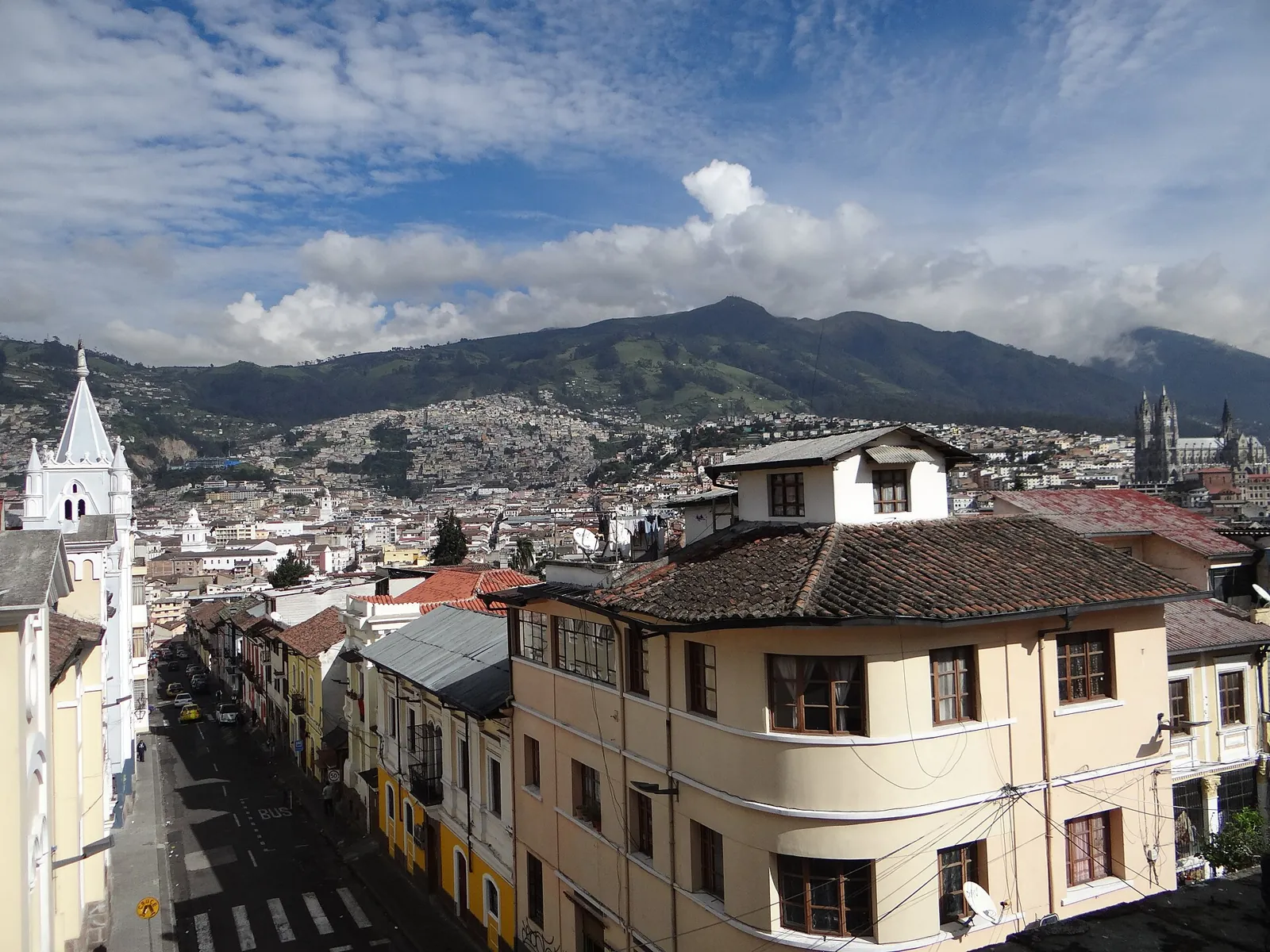
Earthquakes in Ecuador Today

Off Ecuador's coast the Nazca plate subducts beneath South America, producing great megathrust earthquakes such as those of 1906 and 2016 (Mw 7.8). Inland, active faults cross the Andean highlands near Quito, and the country also hosts many active volcanoes.

Danger Level (72h)

72-hour composite hazard forecast

19%

Recent Quakes (30d)

Recorded in the last 30 days

22

Max Magnitude (30d)

Largest earthquake in the last 30 days

M4.7
Last 24 hours
1
Strongest M3.2
Last 7 days
4
Strongest M4.4
M4.5+
1
Average depth
45.8 km
Energy released
⁦1.7 × 10¹² J⁩
Population within 150 km of Quito
5,738,571
Strongest in 12 months
5.8

San Martín, Peru

10mo ago•101.9 km•Felt by about 4,750,872 people

Interactive Seismic & Fault Map
LIVE
Nov 15, 11:05:30 AM
18 networks

Recent earthquakes

20
Showing the last 30 days
3.2m
34 km W of Tena (Ecuador)
5h ago•13 kmshallow
EMSC
3.4m
74 km E of Portoviejo (Ecuador)
1d ago•59 kmintermediate
EMSC
4.1m
Off the coast of Tumbes (111 km NW, Peru)
4d ago•26 kmshallow
EMSC
4.4m
114 km SW of Andoas (Peru)
5d ago•105 kmdeep
EMSC
4.7mb
Off the coast of Manta (107 km SW, Ecuador)
7d ago•10 kmshallow
USGS
3.3m
28 km SW of Portoviejo (Ecuador)
8d ago•40 kmintermediate
EMSC
3.8m
28 km SE of Machala (Ecuador)
8d ago•6 kmshallow
EMSC
3.5m
28 km S of Cuenca (Ecuador)
10d ago•76 kmdeep
EMSC
4.0m
51 km SE of Cuenca (Ecuador)
12d ago•5 kmshallow
EMSC
3.8ml
68 km S of Quito (Ecuador)
16d ago•14 kmshallow
EMSC
3.4m
44 km W of Guayaquil (Ecuador)
18d ago•20 kmshallow
EMSC
4.1ml
Near Azogues (Ecuador)
19d ago•75.4 kmdeep
USGS
3.6m
231 km N of Chachapoyas (Peru)
20d ago•14 kmshallow
EMSC
4.1ml
103 km SW of Machala (Ecuador)
21d ago•67.7 kmintermediate
USGS
3.5m
Off the coast of Tumbes (120 km NW, Peru)
21d ago•28 kmshallow
EMSC
4.2m
29 km SE of Puyo (Ecuador)
21d ago•181.2 kmdeep
USGS
3.8m
48 km NW of Andoas (Peru)
22d ago•30 kmshallow
EMSC
3.3m
50 km SE of Macas (Ecuador)
25d ago•30 kmshallow
EMSC
3.7m
190 km N of Chachapoyas (Peru)
26d ago•16 kmshallow
EMSC
2.9m
80 km E of Portoviejo (Ecuador)
27d ago•59 kmintermediate
EMSC

Counts cover the seismic belts this platform monitors in Ecuador, not its administrative borders. A monitored belt can reach across a border, and events there are listed with the country of their epicentre.

Monitored regions

Volcanoes of Ecuador

5 dedicated profiles · 36 Holocene volcanoes in total

2023
Cotopaxi
Stratovolcano•5.9 km
Details
2026
Reventador
Stratovolcano•3.6 km
Details
2026
Sangay
Stratovolcano•5.3 km
Details
2016
Tungurahua
Stratovolcano•5.0 km
Details
550
Chimborazo
Stratovolcano•6.3 km
Details
2024
Fernandina
Shield volcano•1.5 km
2022
Wolf
Shield volcano•1.7 km
2018
Negra, Sierra
Shield volcano•1.1 km
2008
Azul, Cerro
Shield volcano•1.6 km
2002
Guagua Pichincha
Stratovolcano•4.8 km
1996
Galapagos Rift at 86°W
Fissure vent•2.4 km
1993
Alcedo
Shield volcano•1.1 km
1991
Marchena
Shield volcano•0.3 km
1936
Chiles-Cerro Negro
Stratovolcano•4.7 km
1906
Santiago
Shield volcano•0.9 km
1895
Sumaco
Stratovolcano•4.0 km
1813
Darwin
Shield volcano•1.3 km
1802
Antisana
Stratovolcano•5.8 km
1786
Cayambe
Compound volcano•5.8 km
1773
Chacana
Caldera•4.6 km
1280
Quilotoa
Caldera•3.9 km
1150
Ecuador
Shield volcano•0.8 km
650
Cuicocha
Caldera•3.2 km
290
Pululahua
Caldera•3.4 km
320 BCE
Atacazo
Stratovolcano•4.5 km
2450 BCE
Aliso
Stratovolcano•4.3 km
3740 BCE
Chachimbiro
Stratovolcano•4.1 km
5550 BCE
Imbabura
Compound volcano•4.6 km
6650 BCE
Soche
Stratovolcano•4.0 km
—
Mojanda
Stratovolcano•4.3 km
—
Iliniza
Stratovolcano•5.2 km
—
Licto
Pyroclastic cone•3.3 km
—
Pinta
Shield volcano•0.7 km
—
Genovesa
Shield volcano•0.1 km
—
Santa Cruz
Shield volcano•0.9 km
—
San Cristobal
Shield volcano•0.7 km
Catalogue: Smithsonian Institution, Global Volcanism Program.Volcanoes of the World

Tectonic setting

Off Ecuador's coast the Nazca plate subducts beneath South America, producing great megathrust earthquakes such as those of 1906 and 2016 (Mw 7.8). Inland, active faults cross the Andean highlands near Quito, and the country also hosts many active volcanoes.

Fault systems:Colombia–Ecuador TrenchChingual–Cosanga–Pallatanga–Puná FaultQuito Fault
National seismic network
IG-EPNInstituto Geofísico, Escuela Politécnica Nacional
Emergency number
911ECU 911

Frequently asked questions

How often do earthquakes occur in Ecuador?

Our catalogue recorded 22 earthquakes across the 1 seismic belts monitored in Ecuador over the last 30 days, the strongest reaching M4.7.

Why are there so many earthquakes in Ecuador?

Off Ecuador's coast the Nazca plate subducts beneath South America, producing great megathrust earthquakes such as those of 1906 and 2016 (Mw 7.8). Inland, active faults cross the Andean highlands near Quito, and the country also hosts many active volcanoes.

What was the strongest earthquake in Ecuador?

The strongest earthquake in Ecuador in our historical catalogue is the M8.8 event of January 31, 1906. Death toll: 1,000.

What is the emergency number in Ecuador?

The emergency number in Ecuador is 911, answered by ECU 911. After strong shaking, keep the line free for those trapped or injured and check official channels for aftershock and tsunami advisories.

Who monitors earthquakes in Ecuador?

The national seismic authority is Instituto Geofísico, Escuela Politécnica Nacional (IG-EPN). EarthquakeLive cross-checks its bulletins against 18 international networks, so an event may appear here with a slightly different magnitude until the agencies converge on a final solution.