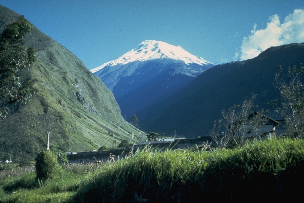
Volcano Tungurahua
Its name is often translated as 'throat of fire'. After waking in 1999 it erupted on and off for 17 years, forcing repeated evacuations of the spa town of Baños at its foot, and in 2006 its pyroclastic flows destroyed villages on its western flank.
Last eruption
Erupted since 2000
Summit
Stratovolcano · Andesite / Basaltic Andesite
Activity
0 events (1.0x rate)
Interactive Volcano & Seismicity Map
Seismicity within 50 km radius, active VAAC ash plumes, and tectonic plate boundaries.
Recent seismicity within 50 km
0 events in the last 12 h within 25 km of the crater.
| Time | Magnitude | Epicenter / Place | Distance |
|---|---|---|---|
| 18d ago | M2.1 | ECUADOR (QUI) | 13 km |
| 20d ago | M4.1 | 27 km WSW of Palora, Ecuador | 43 km |
| 21d ago | M3.0 | ECUADOR (QUI) | 30 km |
| 47d ago | M4.5 | 17 km WNW of Palora, Ecuador | 42 km |
Geological & Tectonic Profile
StratovolcanoTungurahua is an active Stratovolcano formed in an active Subduction zone / Continental crust (> 25 km). Dominant lithology: Andesite / Basaltic Andesite.
Volcano Dossier
VN #352080Official catalogue parameters, coordinates, elevation and geotectonic classification.
Authoritative Monitoring Infrastructure
Frequently Asked Questions (FAQ)
Verified scientific, operational, and emergency protocols
Catalogue: Smithsonian Institution, Global Volcanism Program.Smithsonian GVP profile