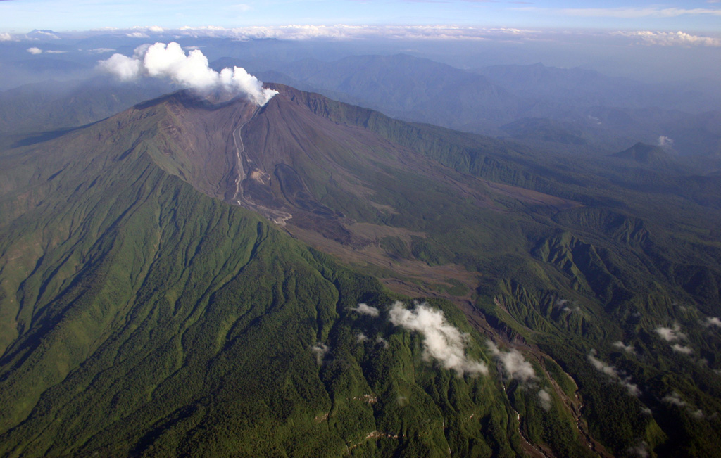
Volcano Reventador
A steep stratovolcano on the forested eastern slope of Ecuador's Andes, about 90 km east of Quito, rising inside a horseshoe-shaped caldera that opens toward the Amazon basin. Its explosive eruption in November 2002 dropped ash on Quito and shut the capital's airport, and since 2008 it has erupted almost without pause, with frequent explosions, ash plumes and lava flows down its flanks.
Last Eruption
Erupted since 2000
Summit Elevation
Stratovolcano · Andesite / Basaltic Andesite
Seismic State
0 events (1.0x rate)
Interactive Volcano & Seismicity Map
Seismicity within 50 km radius, active VAAC ash plumes, and tectonic plate boundaries.
Recent seismicity within 50 km
0 events in the last 12 h within 25 km of the crater.
| Time | Magnitude | Epicenter / Place | Distance |
|---|---|---|---|
| 1mo ago | M2.2 | 81 km NE of Tena (Ecuador) | 29 km |
Geological & Tectonic Profile
StratovolcanoReventador is an active Stratovolcano formed in an active Subduction zone / Continental crust (> 25 km). Dominant lithology: Andesite / Basaltic Andesite.
Volcanic Dossier
VN #352010Official catalogue parameters, coordinates, elevation and geotectonic classification.
Authoritative Monitoring Infrastructure
Frequently Asked Questions (FAQ)
Verified scientific, operational, and emergency protocols
Catalogue: Smithsonian Institution, Global Volcanism Program.Smithsonian GVP profile