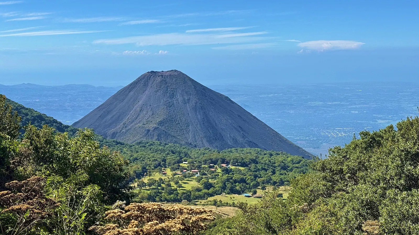
Earthquakes in El Salvador Today

The Cocos plate subducts beneath El Salvador's Pacific coast, and a chain of active volcanoes and shallow faults runs through the populated interior. In 2001 two earthquakes a month apart, one offshore and one beneath the volcanic chain, together killed more than a thousand people.

Danger Level (72h)

72-hour composite hazard forecast

49%

Recent Quakes (30d)

Recorded in the last 30 days

88

Max Magnitude (30d)

Largest earthquake in the last 30 days

M4.6
Last 24 hours
0
Events
Last 7 days
24
Strongest M4.6
M4.5+
1
Average depth
14.4 km
Energy released
⁦1.1 × 10¹² J⁩
Population within 150 km of San Salvador
8,825,547
Strongest in 12 months
5.5

Off the coast of Usulután, El Salvador

3mo ago•72.7 km•Felt by about 8,078,635 people

Interactive Seismic & Fault Map
LIVE
Nov 15, 11:55:36 AM
18 networks

Recent earthquakes

20
Showing the last 30 days
2.9m
52 km SE of Guatemala City (Guatemala)
1d ago•9 kmshallow
EMSC
2.8m
Off the coast of Usulután (77 km S, El Salvador)
1d ago•35 kmintermediate
EMSC
4.6mb
Off the coast of San Salvador (61 km SW, El Salvador)
1d ago•59.1 kmintermediate•3 felt
USGS
2.9m
Off the coast of San Salvador (90 km S, El Salvador)
2d ago•27 kmshallow
EMSC
2.5m
53 km SE of Guatemala City (Guatemala)
3d ago•5 kmshallow
EMSC
2.9m
53 km SE of Guatemala City (Guatemala)
4d ago•5 kmshallow
EMSC
3.8m
Off the coast of Sonsonate (88 km S, El Salvador)
4d ago•20 kmshallow
EMSC
3.4m
52 km SE of Guatemala City (Guatemala)
4d ago•7 kmshallow
EMSC
2.5m
26 km S of Jutiapa (Guatemala)
4d ago•7 kmshallow
EMSC
2.6m
53 km SE of Guatemala City (Guatemala)
5d ago•4 kmshallow
EMSC
2.9m
Off the coast of San Salvador (85 km S, El Salvador)
5d ago•33 kmshallow
EMSC
2.8m
53 km SE of Guatemala City (Guatemala)
6d ago•5 kmshallow
EMSC
3.1m
Off the coast of Nueva San Salvador (88 km S, El Salvador)
6d ago•23 kmshallow
EMSC
2.6m
53 km SE of Guatemala City (Guatemala)
6d ago•5 kmshallow
EMSC
2.7m
53 km SE of Guatemala City (Guatemala)
6d ago•5 kmshallow
EMSC
2.8m
54 km SE of Guatemala City (Guatemala)
6d ago•2 kmshallow
EMSC
3.1m
Off the coast of Usulután (88 km S, El Salvador)
6d ago•32 kmshallow
EMSC
3.1m
53 km SE of Guatemala City (Guatemala)
6d ago•5 kmshallow
EMSC
2.6m
53 km SE of Guatemala City (Guatemala)
6d ago•3 kmshallow
EMSC
2.8m
Off the coast of Usulután (69 km S, El Salvador)
6d ago•24 kmshallow
EMSC

Counts cover the seismic belts this platform monitors in El Salvador, not its administrative borders. A monitored belt can reach across a border, and events there are listed with the country of their epicentre.

Monitored regions

Volcanoes of El Salvador

2 dedicated profiles · 17 Holocene volcanoes in total

2023
San Miguel (Chaparrastique)
Stratovolcano•2.1 km
Details
2005
Santa Ana (Ilamatepec)
Stratovolcano•2.4 km
Details
1966
Izalco
Stratovolcano•1.9 km
1917
San Salvador
Stratovolcano•1.9 km
1880
Ilopango
Caldera•0.5 km
—
Chingo
Stratovolcano•1.8 km
—
Singuil, Cerro
Volcanic field•0.9 km
—
Apaneca Range
Stratovolcano•2.0 km
—
Coatepeque Caldera
Caldera•0.7 km
—
Cinotepeque, Cerro
Volcanic field•0.7 km
—
San Vicente
Stratovolcano•2.1 km
—
Taburete
Stratovolcano•1.2 km
—
Tecapa
Stratovolcano•1.6 km
—
Usulutan
Stratovolcano•1.4 km
—
Tigre, El
Stratovolcano•1.6 km
—
Chinameca
Stratovolcano•1.3 km
—
Aramuaca, Laguna
Maar•0.2 km
Catalogue: Smithsonian Institution, Global Volcanism Program.Volcanoes of the World

Tectonic setting

The Cocos plate subducts beneath El Salvador's Pacific coast, and a chain of active volcanoes and shallow faults runs through the populated interior. In 2001 two earthquakes a month apart, one offshore and one beneath the volcanic chain, together killed more than a thousand people.

Fault systems:El Salvador Fault ZoneMiddle America Trench
National seismic network
MARNObservatorio de Amenazas, Ministerio de Medio Ambiente y Recursos Naturales
Emergency number
911Policía Nacional Civil / Protección Civil

Frequently asked questions

How often do earthquakes occur in El Salvador?

Our catalogue recorded 88 earthquakes across the 1 seismic belts monitored in El Salvador over the last 30 days, the strongest reaching M4.6.

Why are there so many earthquakes in El Salvador?

The Cocos plate subducts beneath El Salvador's Pacific coast, and a chain of active volcanoes and shallow faults runs through the populated interior. In 2001 two earthquakes a month apart, one offshore and one beneath the volcanic chain, together killed more than a thousand people.

What was the strongest earthquake in El Salvador?

The strongest earthquake in El Salvador in our historical catalogue is the M7.7 event of January 13, 2001. Death toll: 844.

What is the emergency number in El Salvador?

The emergency number in El Salvador is 911, answered by Policía Nacional Civil / Protección Civil. After strong shaking, keep the line free for those trapped or injured and check official channels for aftershock and tsunami advisories.

Who monitors earthquakes in El Salvador?

The national seismic authority is Observatorio de Amenazas, Ministerio de Medio Ambiente y Recursos Naturales (MARN). EarthquakeLive cross-checks its bulletins against 18 international networks, so an event may appear here with a slightly different magnitude until the agencies converge on a final solution.