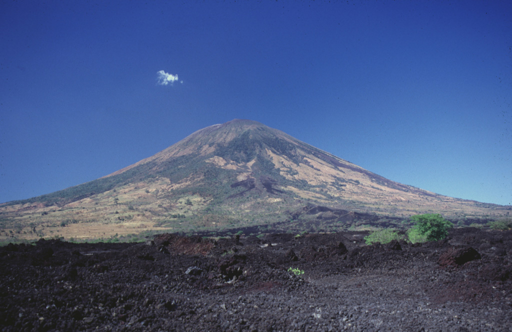
Volcano San Miguel (Chaparrastique)
Known locally as Chaparrastique, this symmetrical cone rises above El Salvador's city of San Miguel and is one of Central America's most active volcanoes, with lava flows recorded since the 16th century. A sudden explosion in December 2013 forced thousands of people to evacuate, and smaller ash blasts followed, most recently in 2023.
Last Eruption
Erupted since 2000
Summit Elevation
Stratovolcano · Andesite / Basaltic Andesite
Seismic State
0 events (1.0x rate)
Interactive Volcano & Seismicity Map
Seismicity within 50 km radius, active VAAC ash plumes, and tectonic plate boundaries.
Recent seismicity within 50 km
0 events in the last 12 h within 25 km of the crater.
| Time | Magnitude | Epicenter / Place | Distance |
|---|---|---|---|
| 25d ago | M3.5 | 79 km E of San Salvador (El Salvador) | 27 km |
| 25d ago | M3.1 | 79 km E of San Salvador (El Salvador) | 27 km |
| 25d ago | M3.1 | 78 km E of San Salvador (El Salvador) | 28 km |
Geological & Tectonic Profile
StratovolcanoSan Miguel (Chaparrastique) is an active Stratovolcano formed in an active Subduction zone / Continental crust (> 25 km). Dominant lithology: Andesite / Basaltic Andesite.
Volcanic Dossier
VN #343100Official catalogue parameters, coordinates, elevation and geotectonic classification.
Authoritative Monitoring Infrastructure
Frequently Asked Questions (FAQ)
Verified scientific, operational, and emergency protocols
Catalogue: Smithsonian Institution, Global Volcanism Program.Smithsonian GVP profile