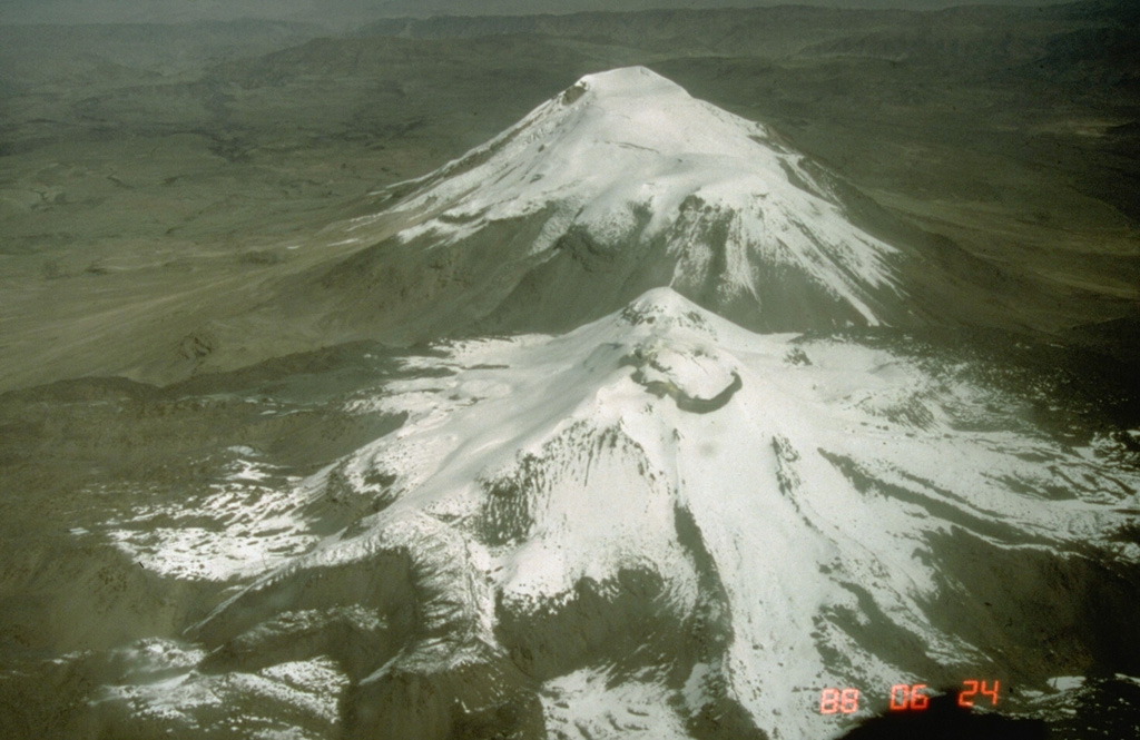
Volcano Sabancaya
Its Quechua name means 'tongue of fire', and since November 2016 this Andean volcano near Arequipa has erupted almost every day, sending ash over the Colca valley. Ash from an earlier eruption in the 1990s darkened and melted the ice on neighbouring Ampato, exposing the 500-year-old Inca mummy known as Juanita in 1995.
Last Eruption
Erupted since 2000
Summit Elevation
Stratovolcano · Andesite / Basaltic Andesite
Seismic State
0 events (1.0x rate)
Interactive Volcano & Seismicity Map
Seismicity within 50 km radius, active VAAC ash plumes, and tectonic plate boundaries.
Recent seismicity within 50 km
0 events in the last 12 h within 25 km of the crater.
| Time | Magnitude | Epicenter / Place | Distance |
|---|---|---|---|
| 21d ago | M4.3 | SOUTHERN PERU (GFZ) | 44 km |
| 27d ago | M3.5 | SOUTHERN PERU (LIM) | 28 km |
| 31d ago | M3.5 | SOUTHERN PERU (LIM) | 15 km |
| 37d ago | M3.3 | SOUTHERN PERU (LIM) | 1.9 km |
| 39d ago | M3.5 | SOUTHERN PERU (LIM) | 15 km |
Geological & Tectonic Profile
StratovolcanoSabancaya is an active Stratovolcano(es) formed in an active Subduction zone / Continental crust (> 25 km). Dominant lithology: Andesite / Basaltic Andesite.
Volcanic Dossier
VN #354006Official catalogue parameters, coordinates, elevation and geotectonic classification.
Authoritative Monitoring Infrastructure
Peru
Explore live seismic monitoring, historical danger benchmarks, fault slip models and recurrence intervals for Peru.
Earthquakes in Peru →Frequently Asked Questions (FAQ)
Verified scientific, operational, and emergency protocols
Catalogue: Smithsonian Institution, Global Volcanism Program.Smithsonian GVP profile