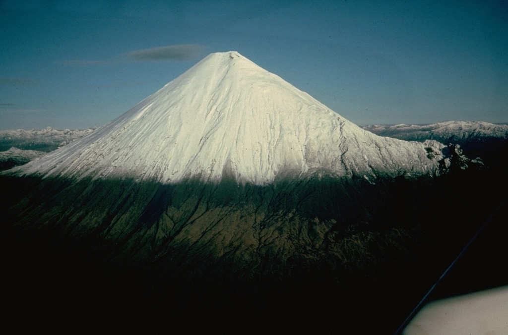
Volcano Sangay
Vươn lên từ rừng mưa ở rìa Amazon, Sangay đã phun trào gần như không ngừng ít nhất từ năm 1628, khiến nó trở thành một trong những núi lửa hoạt động bền bỉ nhất Trái Đất. Nó xa xôi đến mức trong thời gian dài chủ yếu được theo dõi qua vệ tinh, vậy mà các cột tro năm 2020 của nó đã phủ bụi lên các thị trấn ở nhiều tỉnh của Ecuador.
Last Eruption
Erupted since 2000
Summit Elevation
Núi lửa tầng (Stratovolcano) · Andesit / Andesit bazan
Seismic State
0 events (1.0x rate)
Interactive Volcano & Seismicity Map
Seismicity within 50 km radius, active VAAC ash plumes, and tectonic plate boundaries.
Recent seismicity within 50 km
0 events in the last 12 h within 25 km of the crater.
| Thời gian | Độ lớn | Tâm chấn / Địa điểm | Khoảng cách |
|---|---|---|---|
| 23d trước | M4.1 | 27 km WSW of Palora, Ecuador | 30 km |
| 62d trước | M3.2 | ECUADOR (QUI) | 39 km |
Geological & Tectonic Profile
Núi lửa tầng (Stratovolcano)Sangay is an active Stratovolcano formed in an active Subduction zone / Continental crust (> 25 km). Dominant lithology: Andesite / Basaltic Andesite.
Volcanic Dossier
VN #352090Official catalogue parameters, coordinates, elevation and geotectonic classification.
Authoritative Monitoring Infrastructure
Câu hỏi thường gặp (FAQ)
Các quy trình khoa học, vận hành và ứng phó khẩn cấp đã được xác minh
Catalogue: Smithsonian Institution, Global Volcanism Program.Smithsonian GVP profile