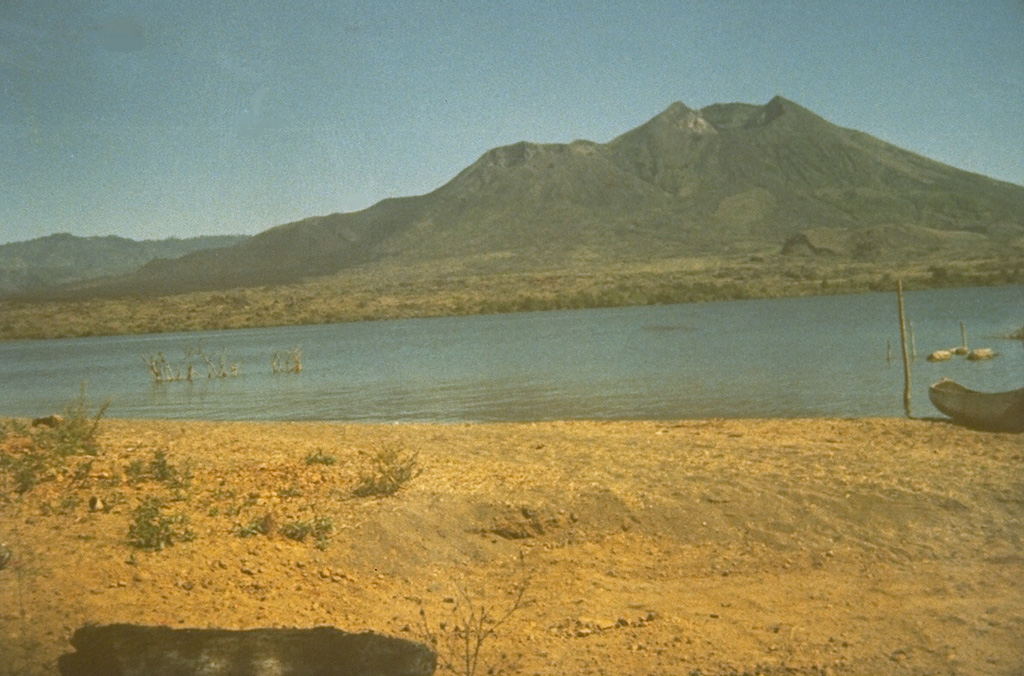
Volcano Núi Batur
Một nón núi lửa trẻ nằm trong miệng núi lửa kép khổng lồ ở vùng cao nguyên Bali, cạnh hồ miệng núi lửa lớn nhất đảo. Dung nham từ vụ phun trào năm 1926 đã chôn vùi làng Batur cùng ngôi đền của nó, sau đó được xây lại trên vành miệng núi; lần phun trào gần nhất là năm 2000, và ngày nay hàng nghìn người leo núi trước bình minh để ngắm mặt trời mọc sau núi Agung.
Last Eruption
Erupted since 2000
Summit Elevation
Hõm chảo núi lửa (Caldera) · Andesit / Andesit bazan
Seismic State
0 events (1.0x rate)
Interactive Volcano & Seismicity Map
Seismicity within 50 km radius, active VAAC ash plumes, and tectonic plate boundaries.
Recent seismicity within 50 km
0 events in the last 12 h within 25 km of the crater.
| Thời gian | Độ lớn | Tâm chấn / Địa điểm | Khoảng cách |
|---|---|---|---|
| 16d trước | M3.2 | BALI REGION, INDONESIA (BMKG) | 24 km |
| 77d trước | M2.6 | BALI REGION, INDONESIA (BMKG) | 23 km |
| 81d trước | M2.5 | BALI REGION, INDONESIA (BMKG) | 50 km |
Geological & Tectonic Profile
Hõm chảo núi lửa (Caldera)Núi Batur is an active Caldera formed in an active Subduction zone / Continental crust (> 25 km). Dominant lithology: Andesite / Basaltic Andesite.
Volcanic Dossier
VN #264010Official catalogue parameters, coordinates, elevation and geotectonic classification.
Authoritative Monitoring Infrastructure
Indonesia
Explore live seismic monitoring, historical danger benchmarks, fault slip models and recurrence intervals for Indonesia.
Earthquakes in Indonesia →Câu hỏi thường gặp (FAQ)
Các quy trình khoa học, vận hành và ứng phó khẩn cấp đã được xác minh
Catalogue: Smithsonian Institution, Global Volcanism Program.Smithsonian GVP profile