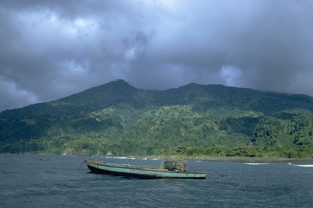
Volcano La Soufrière (St. Vincent)
On 7 May 1902 its eruption killed about 1,600 people, a day before Mount Pelée destroyed Saint-Pierre on nearby Martinique. When it awoke again in April 2021, after a lava dome had been growing for months, scientists ordered the evacuation of some 20,000 people before the first explosion, and no one died.
Last Eruption
Erupted since 2000
Summit Elevation
Stratovolcano · Andesite / Basaltic Andesite
Seismic State
0 events (1.0x rate)
Interactive Volcano & Seismicity Map
Seismicity within 50 km radius, active VAAC ash plumes, and tectonic plate boundaries.
Recent seismicity within 50 km
0 events in the last 12 h within 25 km of the crater.
No catalogued earthquakes within 50 km in the last 90 days.
Geological & Tectonic Profile
StratovolcanoLa Soufrière (St. Vincent) is an active Stratovolcano formed in an active Subduction zone / Oceanic crust (< 15 km). Dominant lithology: Andesite / Basaltic Andesite.
Volcanic Dossier
VN #360150Official catalogue parameters, coordinates, elevation and geotectonic classification.
Authoritative Monitoring Infrastructure
Frequently Asked Questions (FAQ)
Verified scientific, operational, and emergency protocols
Catalogue: Smithsonian Institution, Global Volcanism Program.Smithsonian GVP profile