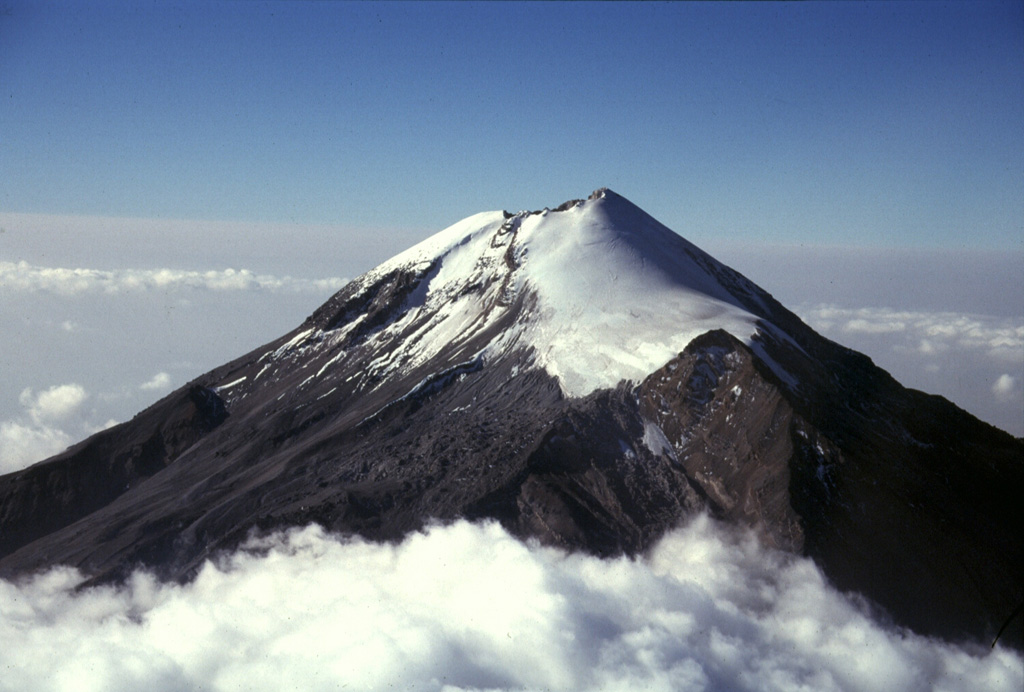
Volcano Pico de Orizaba
Citlaltépetl, the 'Star Mountain' in Nahuatl, is Mexico's highest peak and the tallest volcano in North America. Quiet since 1846, it still carries the country's largest glaciers, which are retreating fast, and a renewed eruption would threaten towns across the states of Puebla and Veracruz below.
Last Eruption
Historical eruption
Summit Elevation
Stratovolcano · Andesite / Basaltic Andesite
Seismic State
0 events (1.0x rate)
Interactive Volcano & Seismicity Map
Seismicity within 50 km radius, active VAAC ash plumes, and tectonic plate boundaries.
Recent seismicity within 50 km
0 events in the last 12 h within 25 km of the crater.
| Time | Magnitude | Epicenter / Place | Distance |
|---|---|---|---|
| 9d ago | M3.2 | 18 km SW of Orizaba (Mexico) | 36 km |
| 1mo ago | M3.3 | 74 km E of Puebla (Mexico) | 24 km |
| 1mo ago | M3.3 | 74 km E of Puebla (Mexico) | 24 km |
| 2mo ago | M3.3 | 55 km E of Puebla (Mexico) | 43 km |
Geological & Tectonic Profile
StratovolcanoPico de Orizaba is an active Stratovolcano formed in an active Subduction zone / Continental crust (> 25 km). Dominant lithology: Andesite / Basaltic Andesite.
Volcanic Dossier
VN #341100Official catalogue parameters, coordinates, elevation and geotectonic classification.
Authoritative Monitoring Infrastructure
Valley of Mexico (Mexico City)
Explore live seismic monitoring, historical danger benchmarks, fault slip models and recurrence intervals for Valley of Mexico (Mexico City).
Open Regional HubFrequently Asked Questions (FAQ)
Verified scientific, operational, and emergency protocols
Catalogue: Smithsonian Institution, Global Volcanism Program.Smithsonian GVP profile