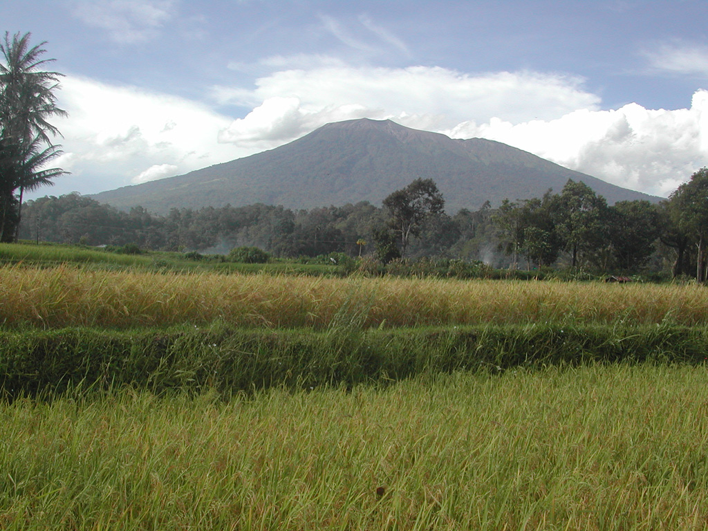
Volcano Marapi
The most active volcano on Sumatra and, in legend, the ancestral homeland of the Minangkabau people. On 3 December 2023 it exploded with little warning while dozens of hikers were near the summit, killing 24 of them, and in May 2024 rain-driven mudflows of its fresh ash swept through villages below, killing more than 60 people.
Last eruption
Erupted since 2000
Summit
Complex volcano · Andesite / Basaltic Andesite
Activity
0 events (1.0x rate)
Interactive Volcano & Seismicity Map
Seismicity within 50 km radius, active VAAC ash plumes, and tectonic plate boundaries.
Recent seismicity within 50 km
40 events in the last 12 h within 25 km of the crater.
| Time | Magnitude | Epicenter / Place | Distance |
|---|---|---|---|
| 1mo ago | M2.5 | 19 km N of Bukittinggi (Indonesia) | 33 km |
| 1mo ago | M2.6 | 28 km SE of Bukittinggi (Indonesia) | 14 km |
| 2mo ago | M2.8 | 28 km N of Bukittinggi (Indonesia) | 40 km |
| 2mo ago | M2.6 | 37 km N of Bukittinggi (Indonesia) | 49 km |
Geological & Tectonic Profile
Complex volcanoMarapi is an active Complex volcano formed in an active Subduction zone / Continental crust (> 25 km). Dominant lithology: Andesite / Basaltic Andesite.
Volcano Dossier
VN #261140Official catalogue parameters, coordinates, elevation and geotectonic classification.
Authoritative Monitoring Infrastructure
Sumatra Subduction & Fault
Explore live seismic monitoring, historical danger benchmarks, fault slip models and recurrence intervals for Sumatra Subduction & Fault.
Open Regional HubFrequently Asked Questions (FAQ)
Verified scientific, operational, and emergency protocols
Catalogue: Smithsonian Institution, Global Volcanism Program.Smithsonian GVP profile