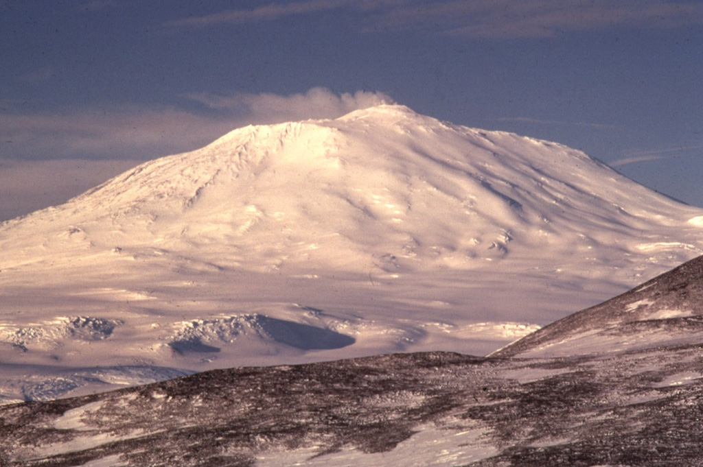
Volcano Erebus
The southernmost active volcano on Earth, on Ross Island in Antarctica, with one of the few long-lived lava lakes. Its gas plume carries tiny crystals of gold, and the research stations McMurdo and Scott Base stand on the same island.
Last eruption
Erupted since 2000
Summit
Stratovolcano · Phonolite
Activity
0 events (1.0x rate)
Interactive Volcano & Seismicity Map
Seismicity within 50 km radius, active VAAC ash plumes, and tectonic plate boundaries.
Recent seismicity within 50 km
0 events in the last 12 h within 25 km of the crater.
No catalogued earthquakes within 50 km in the last 90 days.
Geological & Tectonic Profile
StratovolcanoErebus is an active Stratovolcano formed in an active Intraplate / Continental crust (> 25 km). Dominant lithology: Phonolite.
Volcano Dossier
VN #390020Official catalogue parameters, coordinates, elevation and geotectonic classification.
Authoritative Monitoring Infrastructure
Frequently Asked Questions (FAQ)
Verified scientific, operational, and emergency protocols
Catalogue: Smithsonian Institution, Global Volcanism Program.Smithsonian GVP profile