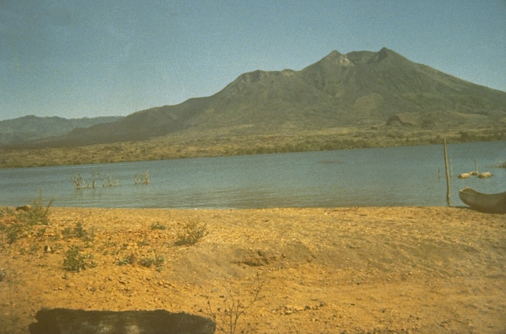
Volcano Batur
A young cone inside a vast double caldera in Bali's highlands, beside the island's largest crater lake. Lava from its 1926 eruption buried the village of Batur and its temple, which were rebuilt on the caldera rim; it last erupted in 2000, and thousands of hikers now climb it before dawn to watch the sun rise behind Mount Agung.
Last Eruption
Erupted since 2000
Summit Elevation
Caldera · Andesite / Basaltic Andesite
Seismic State
0 events (1.0x rate)
Interactive Volcano & Seismicity Map
Seismicity within 50 km radius, active VAAC ash plumes, and tectonic plate boundaries.
Recent seismicity within 50 km
0 events in the last 12 h within 25 km of the crater.
| Time | Magnitude | Epicenter / Place | Distance |
|---|---|---|---|
| 16d ago | M3.2 | BALI REGION, INDONESIA (BMKG) | 24 km |
| 77d ago | M2.6 | BALI REGION, INDONESIA (BMKG) | 23 km |
| 81d ago | M2.5 | BALI REGION, INDONESIA (BMKG) | 50 km |
Geological & Tectonic Profile
CalderaBatur is an active Caldera formed in an active Subduction zone / Continental crust (> 25 km). Dominant lithology: Andesite / Basaltic Andesite.
Volcanic Dossier
VN #264010Official catalogue parameters, coordinates, elevation and geotectonic classification.
Authoritative Monitoring Infrastructure
Indonesia
Explore live seismic monitoring, historical danger benchmarks, fault slip models and recurrence intervals for Indonesia.
Earthquakes in Indonesia →Frequently Asked Questions (FAQ)
Verified scientific, operational, and emergency protocols
Catalogue: Smithsonian Institution, Global Volcanism Program.Smithsonian GVP profile