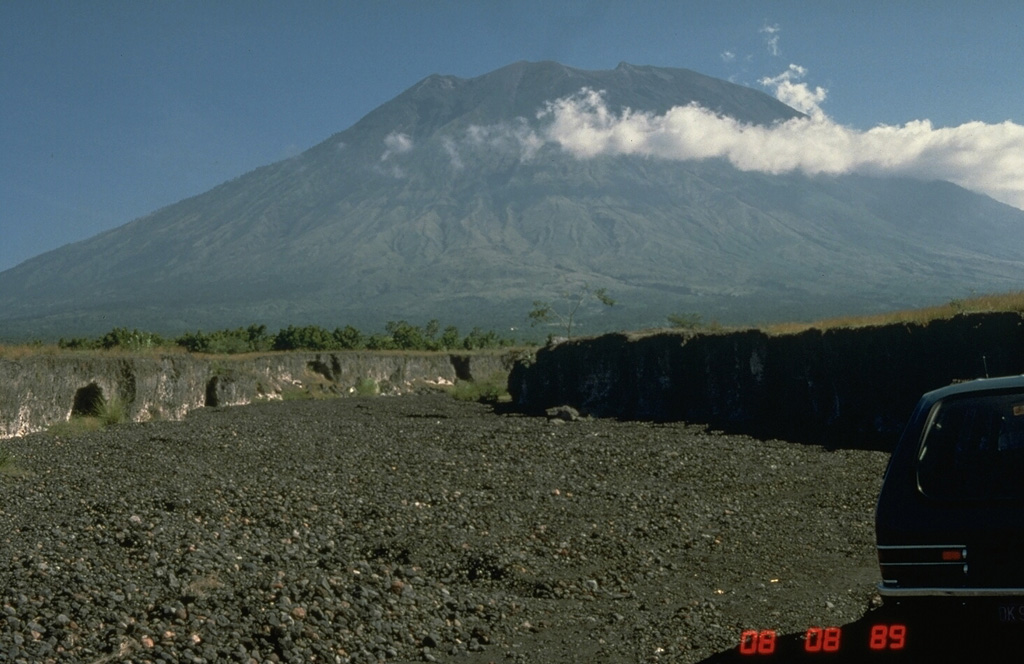
Volcano Agung
Bali's highest and most sacred mountain. Its 1963 eruption killed more than 1,100 people and measurably cooled the planet. When it stirred again in 2017, intense earthquake swarms led to the evacuation of about 140,000 people, and ash closed Bali's airport later that year.
Last eruption
Erupted since 2000
Summit
Stratovolcano · Andesite / Basaltic Andesite
Activity
0 events (1.0x rate)
Interactive Volcano & Seismicity Map
Seismicity within 50 km radius, active VAAC ash plumes, and tectonic plate boundaries.
Recent seismicity within 50 km
0 events in the last 12 h within 25 km of the crater.
| Time | Magnitude | Epicenter / Place | Distance |
|---|---|---|---|
| 11d ago | M3.2 | BALI REGION, INDONESIA (BMKG) | 18 km |
| 27d ago | M2.9 | BALI REGION, INDONESIA (BMKG) | 38 km |
| 71d ago | M2.6 | BALI REGION, INDONESIA (BMKG) | 41 km |
Geological & Tectonic Profile
StratovolcanoAgung is an active Stratovolcano formed in an active Subduction zone / Continental crust (> 25 km). Dominant lithology: Andesite / Basaltic Andesite.
Volcano Dossier
VN #264020Official catalogue parameters, coordinates, elevation and geotectonic classification.
Authoritative Monitoring Infrastructure
Indonesia
Explore live seismic monitoring, historical danger benchmarks, fault slip models and recurrence intervals for Indonesia.
Earthquakes in Indonesia →Frequently Asked Questions (FAQ)
Verified scientific, operational, and emergency protocols
Catalogue: Smithsonian Institution, Global Volcanism Program.Smithsonian GVP profile