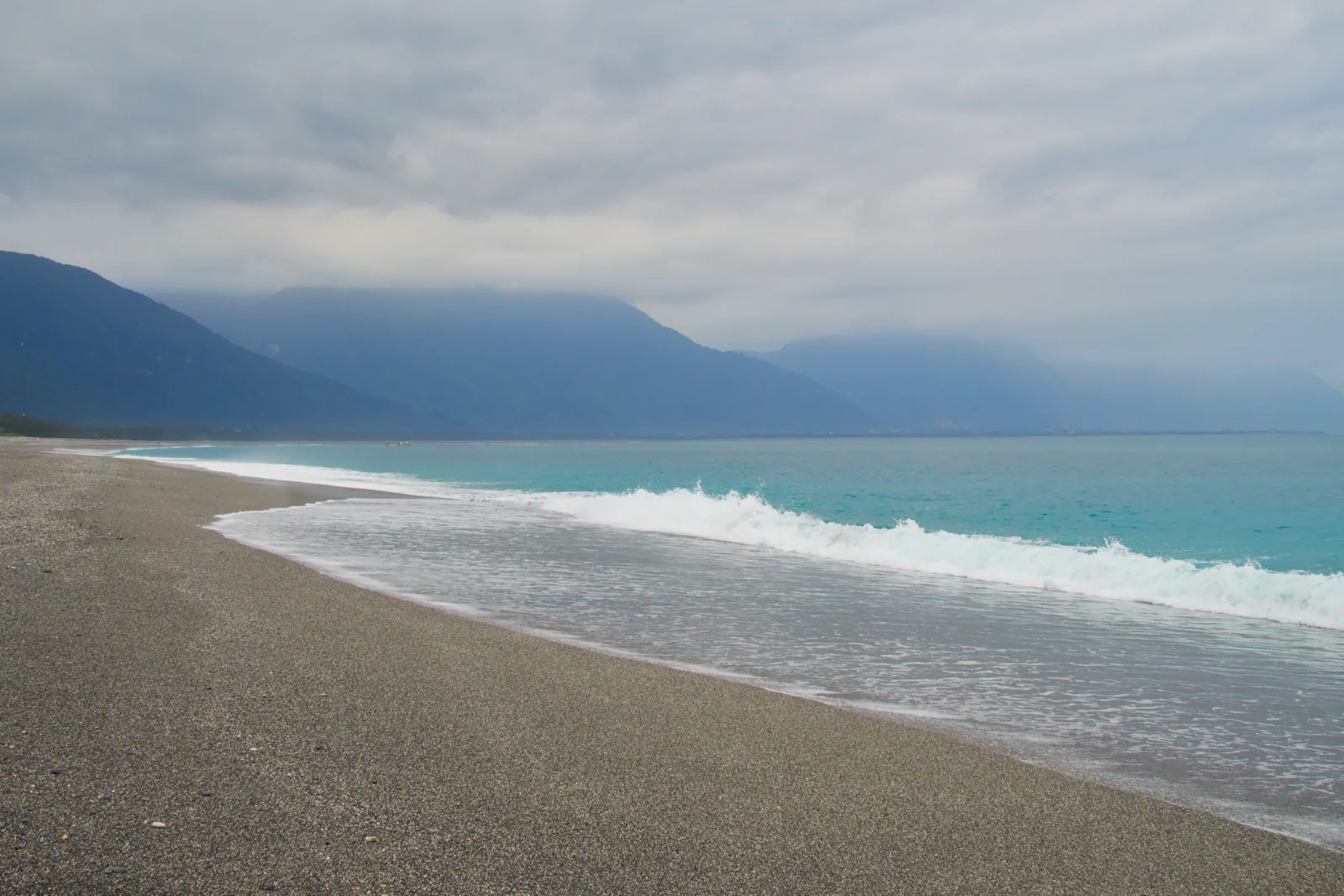
Earthquakes in Taiwan Collision Zone and Hualien Today

The whole island of Taiwan is an active collision zone: the Longitudinal Valley Fault in the east, the thrust faults of the western foothills and the Ryukyu subduction zone offshore all produce strong earthquakes. Hualien on the east coast is among the most frequently shaken cities in East Asia.

Danger Level (72h)

72-hour composite hazard forecast

85%

Recent Quakes (14d)

Recorded in the selected 14d period

24

Max Magnitude (14d)

Largest earthquake in the selected 14d period

M4.7

Tectonic Profile

Seismotectonic hazard assessment, structural exposure & historical context

Associated Faults3

Click to locate on map

Regional PopulationLandScan

43.6M

Living within seismically active radius (~300 km)

Building VulnerabilityModerate

Moderate

Mixed construction stock with regional engineering standards

Tectonic Setting

Subduction Zone

Critical Hazard

Major plate boundary with high strain accumulation

MAG4.7
Most Significant Earthquake (14d)PAGER green

Philippine Sea (171 km E of Hualien, Taiwan)

13d ago· Depth 18 km
Exposed Population (MMI6+)0
Estimated Fatalities0
Filter:
•
Sort by:
••
3.3

Off the coast of Laoag (79 km NE, Philippines)

PHIVOLCS
2 km•1d ago
3.6

Off the coast of Laoag (137 km NE, Philippines)

PHIVOLCS 3.6+1
19 km•1d ago
3.0

Off the coast of Laoag (193 km NE, Philippines)

PHIVOLCS 3.0+1
3 km•1d ago
4.2

32 km NE of Chiayi (Taiwan)

EMSC
10.9 km•6d ago
3.0

Off the coast of Laoag (187 km NE, Philippines)

PHIVOLCS 3.0+1
20 km•7d ago
3.8

South China Sea (132 km NW of Laoag, Philippines)

PHIVOLCS 3.8+1
15 km•8d ago
3.7

Near Hualien (Taiwan)

EMSC
19.6 km•9d ago
4.3

65 km E of Pingtung (Taiwan)

EMSC 4.3+1
15.1 km•9d ago
3.4

Off the coast of Laoag (89 km NW, Philippines)

PHIVOLCS 3.4+1
3 km•9d ago
3.3

Off the coast of Laoag (231 km NE, Philippines)

PHIVOLCS 3.3+1
39 km•10d ago
3.4

South China Sea (121 km NW of Laoag, Philippines)

PHIVOLCS 3.4+1
42 km•10d ago
3.0

Philippine Sea (280 km NE of Laoag, Philippines)

PHIVOLCS 3.0+1
18 km•10d ago
3.0

South China Sea (150 km NW of Laoag, Philippines)

PHIVOLCS 3.1+1
44 km•10d ago
3.2

Off the coast of Laoag (112 km NE, Philippines)

PHIVOLCS 3.2+1
20 km•11d ago
3.7

Philippine Sea (157 km N of Tuguegarao, Philippines)

PHIVOLCS 3.8+1
11 km•11d ago
4.5

74 km SE of Taipei (Taiwan)

EMSC 4.5+1
13.8 km•11d ago
3.0

Off the coast of Laoag (181 km NE, Philippines)

PHIVOLCS 3.0+1
28 km•12d ago
3.2

Off the coast of Laoag (175 km N, Philippines)

PHIVOLCS 3.7+1
23 km•12d ago
3.0

Off the coast of Laoag (180 km NE, Philippines)

PHIVOLCS 3.0+1
10 km•13d ago
4.2

Off the coast of Laoag (177 km N, Philippines)

PHIVOLCS 4.2+4
16 km•13d ago
4.5

Philippine Sea (64 km SE of Yilan, Taiwan)

USGS 4.5+1
55.1 km•13d ago
3.7

Off the coast of Laoag (165 km N, Philippines)

PHIVOLCS 3.7+1
9 km•13d ago
3.7

Off the coast of Laoag (191 km N, Philippines)

PHIVOLCS 3.7+2
6 km•13d ago
4.7

Philippine Sea (171 km E of Hualien, Taiwan)

USGS 4.7+1
18.5 km•13d ago
LIVE
Nov 15, 11:33:08 AM
24/ 24

Seismic Activity

Every recorded earthquake in this area — filter by time range and sort by time or severity.

M0.0M2.0M4.0M6.0Nov 3Nov 5Nov 7Nov 9Nov 11Nov 13Nov 15
Hover or tap a point for details.Current Rolling Risk: M3.1
Shallow (<35 km)Intermediate (35–70 km)Deep (>70 km)

Regional Volcanism & Monitored Vents

Active vents and Holocene volcanic structures within the monitored boundary (Taiwan Collision Zone and Hualien) · 2

1853
Kueishantao
Stratovolcano•0.4 km
648
Tatun Volcanic Group
Lava dome•1.1 km
Catalogue: Smithsonian Institution, Global Volcanism Program.Volcanoes of the World