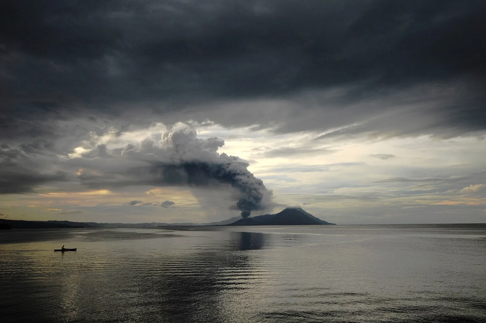
Earthquakes in Papua New Guinea Today

Papua New Guinea lies within a tangle of small plates between the Australian and Pacific plates, and the New Britain and Bougainville trenches make it one of the most seismically active countries on Earth. Even moderate earthquakes can set off deadly local tsunamis: in 1998 an Mw 7.0 shock near Aitape triggered an undersea landslide whose waves killed more than 2,000 people.

Danger Level (72h)

72-hour composite hazard forecast

53%

Recent Quakes (30d)

Recorded in the last 30 days

18

Max Magnitude (30d)

Largest earthquake in the last 30 days

M5.5
Last 24 hours
0
Events
Last 7 days
3
Strongest M5.5
M4.5+
15
Average depth
74.6 km
Energy released
0.6 × Hiroshima
Population within 150 km of Port Moresby
830,893

Papua New Guinea is seismically quiet in our catalogue. The tectonic background below explains why, and what would change it.

Strongest in 12 months
6.7

Madang, Papua New Guinea

9mo ago•103 km•Felt by about 6,982,783 people

Interactive Seismic & Fault Map
LIVE
Nov 15, 11:05:38 AM
18 networks

Recent earthquakes

18
Showing the last 30 days
5.0mb
Solomon Sea (101 km W of Arawa, Papua New Guinea)
3d ago•10 kmshallow
GEOFON
5.5M
Off the coast of Madang (161 km E, Papua New Guinea)
4d ago•300 kmdeep
GEONET
4.7m
123 km SW of Rabaul (Papua New Guinea)
6d ago•120.8 kmdeep
EMSC
4.6mb
98 km N of Lae (Papua New Guinea)
9d ago•97.8 kmdeep
USGS
4.3mb
Solomon Sea (141 km S of Rabaul, Papua New Guinea)
10d ago•10 kmshallow
USGS
4.7mb
Solomon Sea (154 km NW of Arawa, Papua New Guinea)
13d ago•74.7 kmdeep
GEOFON
4.5mb
Off the coast of Lorengau (137 km SW, Papua New Guinea)
13d ago•10 kmshallow
USGS
4.9mb
Solomon Sea (172 km NE of Lae, Papua New Guinea)
16d ago•116.8 kmdeep
GEOFON
4.3mb
Solomon Sea (116 km NW of Arawa, Papua New Guinea)
16d ago•183.1 kmdeep
USGS
5.4mb
50 km N of Lae (Papua New Guinea)
21d ago•10 kmshallow
GEOFON
4.4mb
Off the coast of Lae (102 km E, Papua New Guinea)
23d ago•64.6 kmintermediate
USGS
5.0mb
Solomon Sea (170 km S of Rabaul, Papua New Guinea)
23d ago•10 kmshallow
USGS
4.8mb
Solomon Sea (103 km S of Rabaul, Papua New Guinea)
24d ago•57.3 kmintermediate
USGS
4.5mb
Solomon Sea (127 km S of Rabaul, Papua New Guinea)
25d ago•57.4 kmintermediate
USGS
4.9mb
68 km S of Rabaul (Papua New Guinea)
26d ago•76.1 kmdeep
USGS
5.2mb
Solomon Sea (140 km SE of Rabaul, Papua New Guinea)
27d ago•10 kmshallow
GEOFON
4.7mb
Solomon Sea (159 km S of Rabaul, Papua New Guinea)
27d ago•10 kmshallow
USGS
4.8mb
87 km SE of Goroka (Papua New Guinea)
28d ago•124.1 kmdeep
USGS

Counts cover the seismic belts this platform monitors in Papua New Guinea, not its administrative borders. A monitored belt can reach across a border, and events there are listed with the country of their epicentre.

Monitored regions

Volcanoes of Papua New Guinea

1 dedicated profiles · 39 Holocene volcanoes in total

2014
Rabaul
Caldera•0.7 km
Details
2026
Manam
Stratovolcano•1.8 km
2026
Langila
Complex volcano•1.3 km
2026
Bagana
Lava cone•1.9 km
2025
Ulawun
Stratovolcano•2.3 km
2023
Kadovar
Stratovolcano•0.4 km
2012
Witori
Caldera•0.7 km
2008
Krummel-Garbuna-Welcker
Stratovolcano•0.6 km
2007
Ritter Island
Stratovolcano•0.1 km
1993
Long Island
Complex volcano•1.3 km
1979
Karkar
Stratovolcano•1.8 km
1972
Titan Ridge
Fissure vent•1.3 km
1960
Bam
Stratovolcano•0.7 km
1957
St. Andrew Strait
Complex volcano•0.3 km
1956
Lamington
Stratovolcano•1.7 km
1944
Sessagara Hills
Volcanic field•0.5 km
1935
Victory
Stratovolcano•1.8 km
1912
Lolobau
Caldera•0.9 km
1895
Dakataua
Caldera•0.4 km
1886
Bamus
Stratovolcano•2.2 km
1580
Billy Mitchell
Caldera•1.5 km
1350
Dawson Strait Group
Volcanic field•0.5 km
950
Hargy
Stratovolcano•1.1 km
1050 BCE
Loloru
Compound volcano•1.9 km
4946 BCE
Tavui
Caldera•0.2 km
—
Blup Blup
Stratovolcano•0.4 km
—
Hankow Reef
Stratovolcano•0.0 km
—
Umboi
Complex volcano•1.3 km
—
Sakar
Stratovolcano•0.9 km
—
Bola
Stratovolcano•1.1 km
—
Garua Harbour
Volcanic field•0.6 km
—
Lolo
Stratovolcano•0.8 km
—
Sulu Range
Stratovolcano•0.6 km
—
Hydrographers Range
Stratovolcano•1.9 km
—
Managlase Plateau
Volcanic field•1.3 km
—
Goodenough
Volcanic field•0.2 km
—
Iamalele
Lava dome•0.2 km
—
Balbi
Stratovolcano•2.7 km
—
Takuan Group
Compound volcano•2.2 km
Catalogue: Smithsonian Institution, Global Volcanism Program.Volcanoes of the World

Tectonic setting

Papua New Guinea lies within a tangle of small plates between the Australian and Pacific plates, and the New Britain and Bougainville trenches make it one of the most seismically active countries on Earth. Even moderate earthquakes can set off deadly local tsunamis: in 1998 an Mw 7.0 shock near Aitape triggered an undersea landslide whose waves killed more than 2,000 people.

Fault systems:New Britain TrenchBougainville TrenchWeitin Fault
National seismic network
PMGO / USGSPort Moresby Geophysical Observatory (no public website; bulletins via the National Disaster Centre)
Emergency number
112Police (ambulance 111, fire 110; Port Moresby)

Frequently asked questions

How often do earthquakes occur in Papua New Guinea?

Our catalogue recorded 18 earthquakes across the 1 seismic belts monitored in Papua New Guinea over the last 30 days, the strongest reaching M5.5.

Why are there so many earthquakes in Papua New Guinea?

Papua New Guinea lies within a tangle of small plates between the Australian and Pacific plates, and the New Britain and Bougainville trenches make it one of the most seismically active countries on Earth. Even moderate earthquakes can set off deadly local tsunamis: in 1998 an Mw 7.0 shock near Aitape triggered an undersea landslide whose waves killed more than 2,000 people.

What was the strongest earthquake in Papua New Guinea?

The strongest earthquake in Papua New Guinea in our historical catalogue is the M8.0 event of September 14, 1906.

What is the emergency number in Papua New Guinea?

The emergency number in Papua New Guinea is 112, answered by Police (ambulance 111, fire 110; Port Moresby). After strong shaking, keep the line free for those trapped or injured and check official channels for aftershock and tsunami advisories.

Who monitors earthquakes in Papua New Guinea?

The national seismic authority is Port Moresby Geophysical Observatory (no public website; bulletins via the National Disaster Centre) (PMGO / USGS). EarthquakeLive cross-checks its bulletins against 18 international networks, so an event may appear here with a slightly different magnitude until the agencies converge on a final solution.