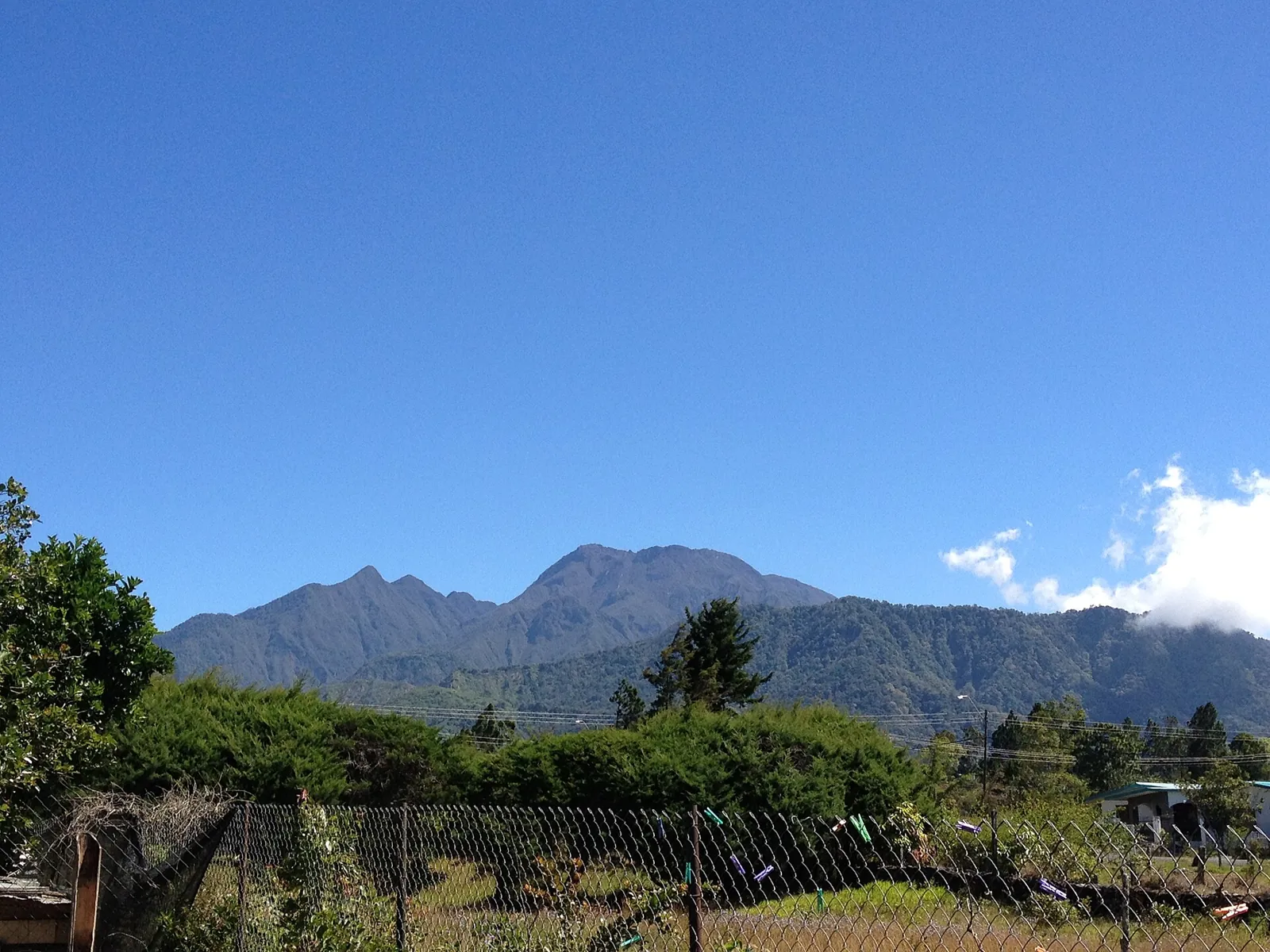
Earthquakes in Azuero Peninsula and Chiriquí Today
Between the Azuero Peninsula and Chiriquí, the Azuero–Soná fault zone and the Panama Fracture Zone, a long transform boundary between the Cocos and Nazca plates, reach Panama's Pacific coast. This is the country's most seismically active area: the Mw 7.7 earthquake of 9 October 2026 struck west of Las Tablas and damaged towns across Herrera, Los Santos and Veraguas.
Danger Level (72h)
72-hour composite hazard forecast
Recent Quakes (14d)
Recorded in the selected 14d period
Max Magnitude (14d)
Largest earthquake in the selected 14d period
Tectonic Profile
Seismotectonic hazard assessment, structural exposure & historical context
Click to locate on map
2.2M
Living within seismically active radius (~300 km)
Moderate
Mixed construction stock with regional engineering standards
Transform / Strike-Slip
Major plate boundary with high strain accumulation
66 km SW of Santiago (Panama)
Seismic Activity
Every recorded earthquake in this area — filter by time range and sort by time or severity.
Regional Volcanism & Monitored Vents
Active vents and Holocene volcanic structures within the monitored boundary (Azuero Peninsula and Chiriquí) · 1