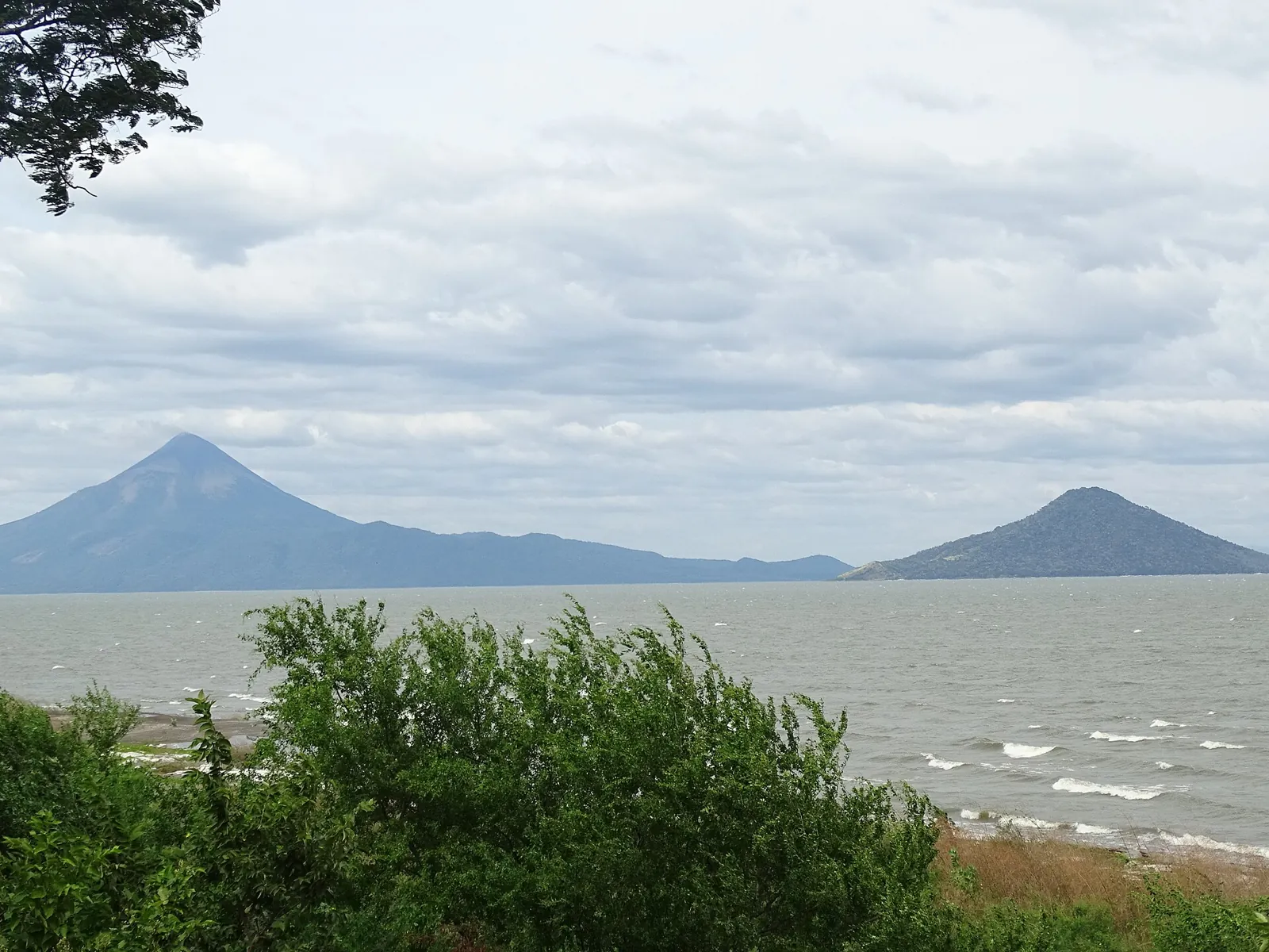
Earthquakes in Managua and the Pacific Coast Today

Managua is built over a network of short, shallow faults that destroyed the city centre in 1931 and again in 1972. Offshore, the Cocos plate subducts beneath the coast, and the 1992 tsunami earthquake showed that even a moderately felt event can flood the shoreline.

Danger Level (72h)

72-hour composite hazard forecast

61%

Recent Quakes (14d)

Recorded in the selected 14d period

48

Max Magnitude (14d)

Largest earthquake in the selected 14d period

M5.6

Tectonic Profile

Seismotectonic hazard assessment, structural exposure & historical context

Associated Faults3

Click to locate on map

Regional PopulationLandScan

4.3M

Living within seismically active radius (~300 km)

Building VulnerabilityHigh

High

Unreinforced masonry or non-ductile structures vulnerable to shaking

Tectonic Setting

Subduction Zone

High Hazard

Active fault boundary with frequent seismicity

MAG5.6
Most Significant Earthquake (14d)PAGER green

Off the coast of Escuintla (85 km S, Guatemala)

4d ago· Depth 35 km
Exposed Population (MMI6+)0
Estimated Fatalities0
Filter:
•
Sort by:
••
3.2

Off the coast of San José (159 km S, Costa Rica)

EMSC
19 km•3h ago
3.2

87 km SE of Managua (Nicaragua)

EMSC
151 km•4h ago
3.5

177 km S of Limón (Costa Rica)

EMSC
7 km•8h ago
4.3

68 km W of David (Panama)

USGS 4.3+1
9.6 km•8h ago•👥 109k
3.1

Off the coast of Sonsonate (108 km SW, El Salvador)

EMSC
21 km•12h ago
3.0

Caribbean Sea (55 km SW of Chinandega, Nicaragua)

EMSC
35 km•14h ago
4.0

69 km N of Liberia (Costa Rica)

EMSC
165 km•22h ago
3.6

Near Zacapa (Guatemala)

EMSC
6 km•1d ago
3.6

Off the coast of Sonsonate (70 km SW, El Salvador)

EMSC
20 km•1d ago
3.1

Near Puntarenas (Costa Rica)

EMSC
10 km•1d ago
4.6

Off the coast of San Salvador (61 km SW, El Salvador)

USGS 4.6+1
59.1 km•1d ago
3.6

Caribbean Sea (43 km S of Managua, Nicaragua)

EMSC
209 km•1d ago
4.4

17 km SE of Chinandega (Nicaragua)

EMSC
138 km•1d ago
3.1

Off the coast of San José (158 km S, Costa Rica)

EMSC
18 km•1d ago
3.0

79 km NW of San José (Costa Rica)

EMSC
300 km•1d ago
4.2

Caribbean Sea (88 km E of Bilwi, Nicaragua)

EMSC
18 km•2d ago
3.3

133 km NE of San José (Costa Rica)

EMSC
23 km•2d ago
3.2

63 km W of David (Panama)

EMSC
10 km•2d ago
3.7

Off the coast of San José (200 km SW, Costa Rica)

EMSC
32 km•2d ago
3.0

36 km S of Guatemala City (Guatemala)

EMSC
198 km•2d ago
3.0

69 km W of San José (Costa Rica)

EMSC
52 km•2d ago
4.0

80 km S of Juticalpa (Honduras)

EMSC
15 km•2d ago
3.1

Off the coast of Sonsonate (113 km SW, El Salvador)

EMSC
3 km•2d ago
4.1

Caribbean Sea (120 km SE of Bilwi, Nicaragua)

EMSC
7 km•2d ago
3.8

Off the coast of León (235 km SW, Nicaragua)

EMSC
200 km•2d ago
3.2

Near Zacapa (Guatemala)

EMSC
2 km•2d ago•👥 391k
3.8

Off the coast of Ahuachapán (54 km SW, El Salvador)

EMSC
77.4 km•3d ago
3.2

Caribbean Sea (110 km W of Liberia, Costa Rica)

EMSC
9 km•3d ago
3.4

Caribbean Sea (109 km SW of Liberia, Costa Rica)

EMSC
24 km•3d ago
3.8

Off the coast of Sonsonate (88 km S, El Salvador)

EMSC
20 km•4d ago
3.4

52 km SE of Guatemala City (Guatemala)

EMSC
7 km•4d ago
3.0

Caribbean Sea (106 km W of Liberia, Costa Rica)

EMSC
18 km•4d ago
3.3

Caribbean Sea (55 km W of Managua, Nicaragua)

EMSC
250 km•4d ago
3.0

Caribbean Sea (74 km W of Chinandega, Nicaragua)

EMSC
33 km•4d ago
3.0

Caribbean Sea (64 km SW of Liberia, Costa Rica)

EMSC
16 km•4d ago
4.8

Off the coast of Escuintla (76 km S, Guatemala)

USGS 4.8+2
58.5 km•4d ago
5.6

Off the coast of Escuintla (85 km S, Guatemala)

USGS 5.6+5
35 km•4d ago
3.5

Off the coast of Usulután (86 km S, El Salvador)

EMSC
31 km•5d ago
3.2

Off the coast of Escuintla (96 km S, Guatemala)

EMSC
11 km•5d ago
4.3

28 km S of Bilwi (Nicaragua)

EMSC
25 km•5d ago
3.5

Off the coast of San Salvador (154 km S, El Salvador)

EMSC
28 km•5d ago
3.0

Off the coast of Ahuachapán (92 km SW, El Salvador)

EMSC
22 km•5d ago
4.4

Caribbean Sea (99 km E of Bilwi, Nicaragua)

EMSC
38 km•6d ago
3.7

Caribbean Sea (67 km SW of Managua, Nicaragua)

EMSC
39 km•6d ago
3.1

Off the coast of Nueva San Salvador (88 km S, El Salvador)

EMSC
23 km•6d ago
3.2

Caribbean Sea (106 km W of Liberia, Costa Rica)

EMSC
11 km•6d ago
3.4

57 km N of Zacapa (Guatemala)

EMSC
1 km•6d ago•👥 316k
3.3

Caribbean Sea (46 km SW of León, Nicaragua)

EMSC
100 km•6d ago
LIVE
Nov 15, 11:48:36 AM
48/ 48

Seismic Activity

Every recorded earthquake in this area — filter by time range and sort by time or severity.

M0.0M2.0M4.0M6.0Nov 3Nov 5Nov 7Nov 9Nov 11Nov 13Nov 15
Hover or tap a point for details.Current Rolling Risk: M4.7
Shallow (<35 km)Intermediate (35–70 km)Deep (>70 km)

Regional Volcanism & Monitored Vents

Active vents and Holocene volcanic structures within the monitored boundary (Managua and the Pacific Coast) · 16

2026
Masaya
Caldera•0.6 km
Details
2025
Telica
Stratovolcano•1.0 km
2024
San Cristobal
Stratovolcano•1.7 km
2024
Concepcion
Stratovolcano•1.7 km
2016
Momotombo
Stratovolcano•1.3 km
1999
Negro, Cerro
Pyroclastic cone•0.7 km
1954
Las Pilas-El Hoyo Complex
Complex volcano•1.1 km
1859
Cosiguina
Stratovolcano•0.9 km
1060
Nejapa-Miraflores
Fissure vent•0.4 km
50 BCE
Apoyeque
Caldera•0.5 km
—
Tigre, Isla del
Stratovolcano•0.8 km
—
Zacate Grande, Isla
Stratovolcano•0.6 km
—
Granada
Fissure vent•0.3 km
—
Mombacho
Stratovolcano•1.3 km
—
Zapatera
Shield volcano•0.6 km
—
Orosi
Stratovolcano•1.7 km
Catalogue: Smithsonian Institution, Global Volcanism Program.Volcanoes of the World