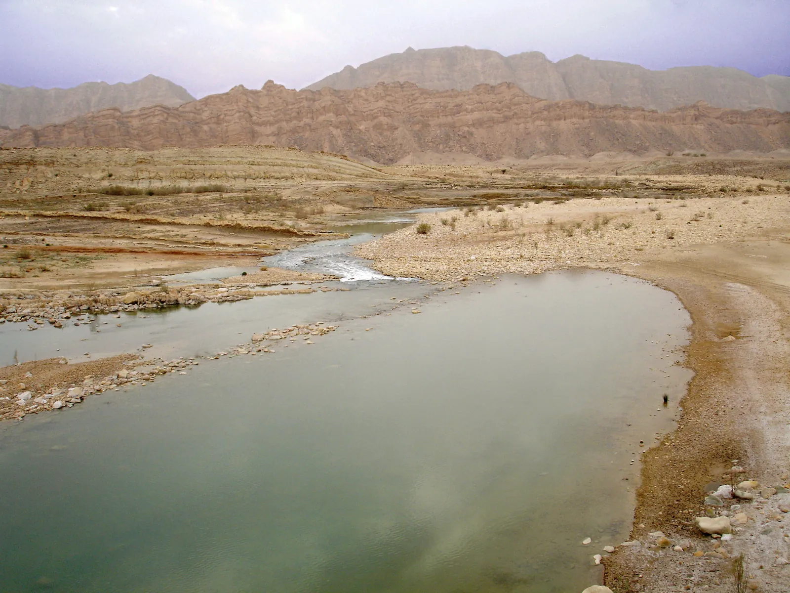
Earthquakes in Zagros Mountains Today
The Zagros fold-and-thrust belt absorbs much of the Arabia–Eurasia convergence and is one of the most seismically active mountain belts on Earth. Its earthquakes are mostly shallow and moderate, but they strike towns built of unreinforced masonry, as in Kermanshah in 2017 (Mw 7.3).
Danger Level (72h)
72-hour composite hazard forecast
Recent Quakes (14d)
Recorded in the selected 14d period
Max Magnitude (14d)
Largest earthquake in the selected 14d period
Tectonic Profile
Seismotectonic hazard assessment, structural exposure & historical context
Click to locate on map
48.0M
Living within seismically active radius (~300 km)
High
Unreinforced masonry or non-ductile structures vulnerable to shaking
Convergent Margin
Major plate boundary with high strain accumulation
56 km NE of Ahvaz (Iran)
Seismic Activity
Every recorded earthquake in this area — filter by time range and sort by time or severity.