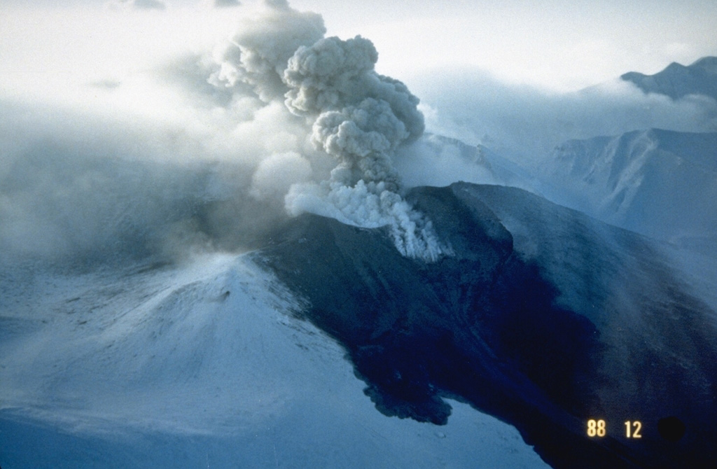
Volcano 十勝岳
北海道で最も活発な火山の一つです。1926年5月の小規模な噴火で山頂の一部が崩れて積雪を溶かし、泥流はおよそ25分で25 km先の上富良野と美瑛の農村まで達して144人が亡くなりました(大正泥流)。1962年と1988〜89年にも噴火し、24時間体制で監視されています。
Last Eruption
Erupted since 2000
Summit Elevation
成層火山 · 安山岩 / 玄武岩質安山岩
Seismic State
0 events (1.0x rate)
Interactive Volcano & Seismicity Map
Seismicity within 50 km radius, active VAAC ash plumes, and tectonic plate boundaries.
Recent seismicity within 50 km
0 events in the last 12 h within 25 km of the crater.
No catalogued earthquakes within 50 km in the last 90 days.
Geological & Tectonic Profile
成層火山十勝岳 is an active Stratovolcano(es) formed in an active Subduction zone / Continental crust (> 25 km). Dominant lithology: Andesite / Basaltic Andesite.
Volcanic Dossier
VN #285050Official catalogue parameters, coordinates, elevation and geotectonic classification.
Authoritative Monitoring Infrastructure
北海道
Explore live seismic monitoring, historical danger benchmarks, fault slip models and recurrence intervals for 北海道.
地域ハブを開くよくあるご質問(FAQ)
検証済みの科学的・運用面・緊急対応プロトコル
Catalogue: Smithsonian Institution, Global Volcanism Program.Smithsonian GVP profile