Volcano Dossier•GVP #352090
2.00°S, 78.34°W
Erupted since 2000
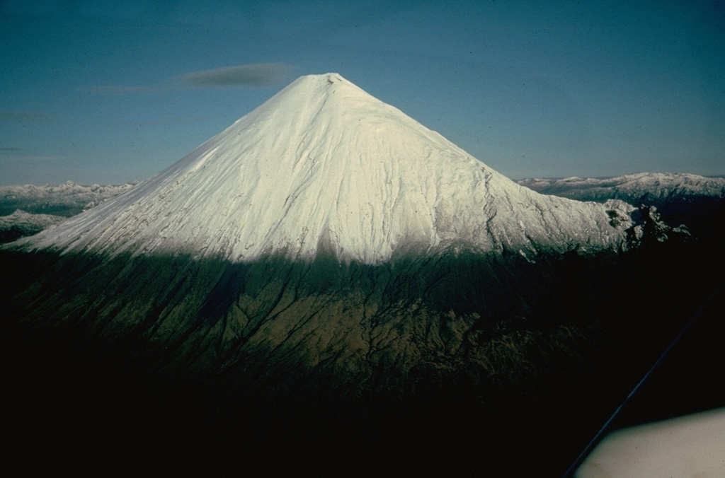
Volcano サンガイ山
アマゾンの縁の熱帯雨林からそびえるサンガイ山は、少なくとも1628年からほぼ休みなく噴火を続けており、地球上で最も持続的に活動する火山の一つです。あまりに辺境にあるため長く主に衛星で監視されてきましたが、2020年には噴煙がエクアドルの複数の州の町に火山灰を降らせました。
Last Eruption
2026
Erupted since 2000
Summit Elevation
5.3 km
成層火山 · 安山岩 / 玄武岩質安山岩
Seismic State
Normal Baseline
0 events (1.0x rate)
Interactive Volcano & Seismicity Map
Seismicity within 50 km radius, active VAAC ash plumes, and tectonic plate boundaries.
Recent seismicity within 50 km
0 events in the last 12 h within 25 km of the crater.
| 時刻 | マグニチュード | 震央・場所 | 距離 |
|---|---|---|---|
| 23d 前 | M4.1 | 27 km WSW of Palora, Ecuador | 30 km |
| 62d 前 | M3.2 | ECUADOR (QUI) | 39 km |
Geological & Tectonic Profile
成層火山サンガイ山 is an active Stratovolcano formed in an active Subduction zone / Continental crust (> 25 km). Dominant lithology: Andesite / Basaltic Andesite.
Edifice Type成層火山
Major Rock安山岩 / 玄武岩質安山岩
Tectonic Setting沈み込み帯
Volcanic Arc北アンデス火山弧
Volcanic Dossier
VN #352090Official catalogue parameters, coordinates, elevation and geotectonic classification.
国エクアドル
火口の座標-2.005°, -78.341°
Summit Elevation5.3 km
Subregion北アンデス火山弧
Catalog SourceSmithsonian GVP (#352090)
Authoritative Monitoring Infrastructure
ICAO Aviation Ash Center
ICAO Volcanic Ash Advisory Network
International Civil Aviation Organization
VAAC Advisory DeskSwarm telemetry correlated across 18 networks against a 30-day baseline.Read Science & Physics →
よくあるご質問(FAQ)
検証済みの科学的・運用面・緊急対応プロトコル
The most recent eruption of サンガイ山 recorded by the Smithsonian Global Volcanism Program was in 2026.
Catalogue: Smithsonian Institution, Global Volcanism Program.Smithsonian GVP profile