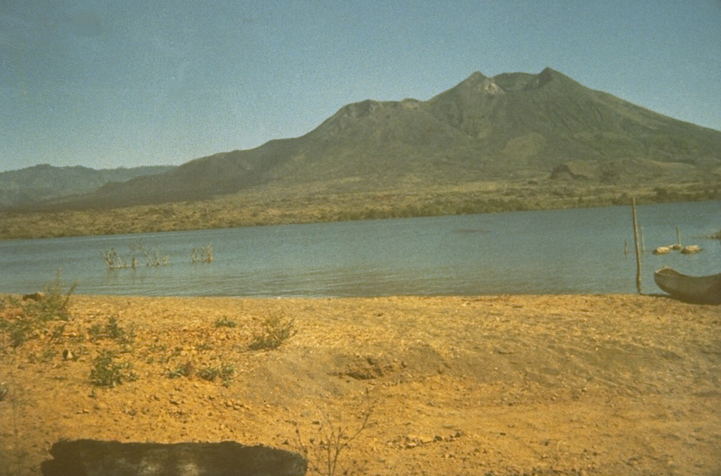
Volcano バトゥール山
バリ島の高原にある巨大な二重カルデラの中、島最大のカルデラ湖のほとりにある若い火山です。1926年の噴火の溶岩はバトゥール村と寺院を埋め、両者はカルデラ縁に再建されました。最後の噴火は2000年で、今では毎朝何千人ものハイカーが夜明け前に登り、アグン山の向こうから昇る朝日を眺めています。
Last Eruption
Erupted since 2000
Summit Elevation
カルデラ · 安山岩 / 玄武岩質安山岩
Seismic State
0 events (1.0x rate)
Interactive Volcano & Seismicity Map
Seismicity within 50 km radius, active VAAC ash plumes, and tectonic plate boundaries.
Recent seismicity within 50 km
0 events in the last 12 h within 25 km of the crater.
| 時刻 | マグニチュード | 震央・場所 | 距離 |
|---|---|---|---|
| 16d 前 | M3.2 | BALI REGION, INDONESIA (BMKG) | 24 km |
| 77d 前 | M2.6 | BALI REGION, INDONESIA (BMKG) | 23 km |
| 81d 前 | M2.5 | BALI REGION, INDONESIA (BMKG) | 50 km |
Geological & Tectonic Profile
カルデラバトゥール山 is an active Caldera formed in an active Subduction zone / Continental crust (> 25 km). Dominant lithology: Andesite / Basaltic Andesite.
Volcanic Dossier
VN #264010Official catalogue parameters, coordinates, elevation and geotectonic classification.
Authoritative Monitoring Infrastructure
インドネシア
Explore live seismic monitoring, historical danger benchmarks, fault slip models and recurrence intervals for インドネシア.
Earthquakes in インドネシア →よくあるご質問(FAQ)
検証済みの科学的・運用面・緊急対応プロトコル
Catalogue: Smithsonian Institution, Global Volcanism Program.Smithsonian GVP profile