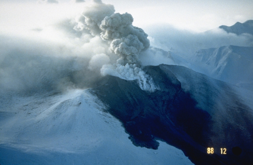
Volcano Tokachi-dake
L'un des volcans les plus actifs d'Hokkaido. En mai 1926, une petite éruption a fait s'effondrer une partie du sommet et fondre le manteau neigeux ; la coulée de boue a dévalé 25 km jusqu'aux bourgs agricoles de Kamifurano et Biei en 25 minutes environ, tuant 144 personnes. Il est de nouveau entré en éruption en 1962 et en 1988–89 et il est surveillé en permanence.
Last Eruption
Erupted since 2000
Summit Elevation
Stratovolcan · Andésite / Andésite basaltique
Seismic State
0 events (1.0x rate)
Interactive Volcano & Seismicity Map
Seismicity within 50 km radius, active VAAC ash plumes, and tectonic plate boundaries.
Recent seismicity within 50 km
0 events in the last 12 h within 25 km of the crater.
No catalogued earthquakes within 50 km in the last 90 days.
Geological & Tectonic Profile
StratovolcanTokachi-dake is an active Stratovolcano(es) formed in an active Subduction zone / Continental crust (> 25 km). Dominant lithology: Andesite / Basaltic Andesite.
Volcanic Dossier
VN #285050Official catalogue parameters, coordinates, elevation and geotectonic classification.
Authoritative Monitoring Infrastructure
Île d'Hokkaidō
Explore live seismic monitoring, historical danger benchmarks, fault slip models and recurrence intervals for Île d'Hokkaidō.
Ouvrir le pôle régionalQuestions fréquentes (FAQ)
Protocoles scientifiques, opérationnels et d’urgence vérifiés
Catalogue: Smithsonian Institution, Global Volcanism Program.Smithsonian GVP profile