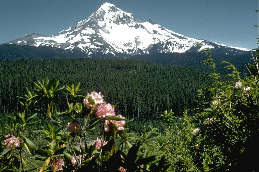
Volcano Mont Hood
Le plus haut sommet de l'Oregon se dresse à environ 80 km de Portland et l'USGS le classe parmi les volcans à « menace très élevée ». Ses dernières éruptions notables, à la fin du XVIIIe siècle, ont envoyé des lahars le long de la rivière Sandy jusqu'au Columbia ; aujourd'hui ses glaciers alimentent la région en eau, des pistes de ski couvrent ses flancs et de petits essaims de séismes sous lui rappellent régulièrement qu'il est toujours actif.
Last Eruption
Historical eruption
Summit Elevation
Stratovolcan · Andésite / Andésite basaltique
Seismic State
0 events (1.0x rate)
Interactive Volcano & Seismicity Map
Seismicity within 50 km radius, active VAAC ash plumes, and tectonic plate boundaries.
Recent seismicity within 50 km
0 events in the last 12 h within 25 km of the crater.
| Heure | Magnitude | Épicentre / lieu | Distance |
|---|---|---|---|
| 7d il y a | M1.2 | 3 km S of Carson, Washington | 36 km |
| 8d il y a | M0.8 | 6 km ENE of Government Camp, Oregon | 4.9 km |
| 8d il y a | M0.9 | 8 km NNE of Government Camp, Oregon | 0.6 km |
| 9d il y a | M1.1 | 6 km ENE of Government Camp, Oregon | 5.7 km |
| 23d il y a | M0.8 | 9 km NNE of Government Camp, Oregon | 1.9 km |
| 28d il y a | M0.1 | 6 km NE of Government Camp, Oregon | 4.1 km |
| 31d il y a | M1.4 | 9 km NNE of Government Camp, Oregon | 0.9 km |
| 35d il y a | M1.5 | 7 km NW of Mount Hood Village, Oregon | 28 km |
| 40d il y a | M0.2 | 9 km NNE of Government Camp, Oregon | 0.3 km |
| 40d il y a | M1.1 | 4 km ENE of Government Camp, Oregon | 6.1 km |
| 40d il y a | M1.2 | 4 km ENE of Government Camp, Oregon | 6.1 km |
| 46d il y a | M0.0 | 7 km ENE of Government Camp, Oregon | 5.3 km |
| 47d il y a | M0.3 | 6 km NE of Government Camp, Oregon | 4.2 km |
| 62d il y a | M0.9 | 3 km NW of Mount Hood Village, Oregon | 25 km |
| 70d il y a | M0.1 | 8 km NNE of Government Camp, Oregon | 0.7 km |
| 71d il y a | M0.2 | 8 km NE of Government Camp, Oregon | 0.6 km |
| 89d il y a | M0.7 | 0 km N of Government Camp, Oregon | 8.4 km |
Geological & Tectonic Profile
StratovolcanMont Hood is an active Stratovolcano formed in an active Subduction zone / Continental crust (> 25 km). Dominant lithology: Andesite / Basaltic Andesite.
Volcanic Dossier
VN #322010Official catalogue parameters, coordinates, elevation and geotectonic classification.
Authoritative Monitoring Infrastructure
Cascadia et Nord-Ouest pacifique
Explore live seismic monitoring, historical danger benchmarks, fault slip models and recurrence intervals for Cascadia et Nord-Ouest pacifique.
Ouvrir le pôle régionalQuestions fréquentes (FAQ)
Protocoles scientifiques, opérationnels et d’urgence vérifiés
Catalogue: Smithsonian Institution, Global Volcanism Program.Smithsonian GVP profile