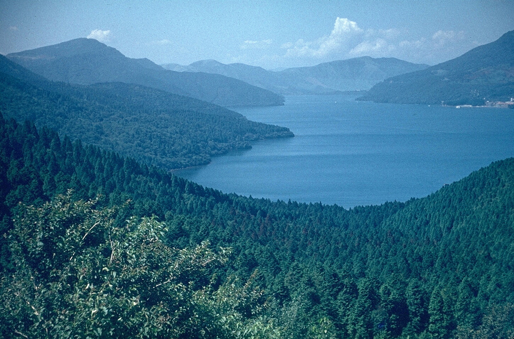
Volcano Hakone
Une caldeira à moins de 100 km de Tokyo, cernée de villes thermales et abritant le lac Ashi. Sa vallée fumante d'Owakudani, où les œufs cuits dans les sources volcaniques deviennent noirs, est née d'une éruption il y a environ 3 000 ans ; en 2015, une petite explosion de vapeur y a fait relever le niveau d'alerte et fermer la vallée pendant des mois.
Last Eruption
Erupted since 2000
Summit Elevation
Complexe volcanique · Andésite / Andésite basaltique
Seismic State
0 events (1.0x rate)
Interactive Volcano & Seismicity Map
Seismicity within 50 km radius, active VAAC ash plumes, and tectonic plate boundaries.
Recent seismicity within 50 km
0 events in the last 12 h within 25 km of the crater.
| Heure | Magnitude | Épicentre / lieu | Distance |
|---|---|---|---|
| 15d il y a | M2.3 | 59 km SW of Hachiōji (Japan) | 4.1 km |
| 29d il y a | M3.4 | NEAR S. COAST OF HONSHU, JAPAN (JMA) | 31 km |
| 29d il y a | M3.4 | 神奈川県西部, Japan | 31 km |
Geological & Tectonic Profile
Complexe volcaniqueHakone is an active Complex formed in an active Subduction zone / Continental crust (> 25 km). Dominant lithology: Andesite / Basaltic Andesite.
Volcanic Dossier
VN #283020Official catalogue parameters, coordinates, elevation and geotectonic classification.
Authoritative Monitoring Infrastructure
Tokyo et plaine du Kantō
Explore live seismic monitoring, historical danger benchmarks, fault slip models and recurrence intervals for Tokyo et plaine du Kantō.
Ouvrir le pôle régionalQuestions fréquentes (FAQ)
Protocoles scientifiques, opérationnels et d’urgence vérifiés
Catalogue: Smithsonian Institution, Global Volcanism Program.Smithsonian GVP profile