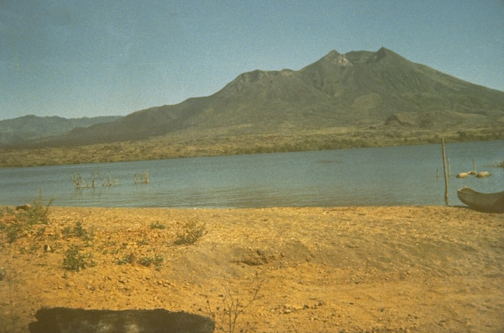
Volcano Batur
Un jeune cône au cœur d'une vaste double caldeira des hautes terres de Bali, au bord du plus grand lac de cratère de l'île. La lave de son éruption de 1926 a enseveli le village de Batur et son temple, reconstruits sur le rebord de la caldeira ; sa dernière éruption date de 2000, et des milliers de randonneurs le gravissent aujourd'hui avant l'aube pour voir le soleil se lever derrière le mont Agung.
Last Eruption
Erupted since 2000
Summit Elevation
Caldeira · Andésite / Andésite basaltique
Seismic State
0 events (1.0x rate)
Interactive Volcano & Seismicity Map
Seismicity within 50 km radius, active VAAC ash plumes, and tectonic plate boundaries.
Recent seismicity within 50 km
0 events in the last 12 h within 25 km of the crater.
| Heure | Magnitude | Épicentre / lieu | Distance |
|---|---|---|---|
| 16d il y a | M3.2 | BALI REGION, INDONESIA (BMKG) | 24 km |
| 77d il y a | M2.6 | BALI REGION, INDONESIA (BMKG) | 23 km |
| 81d il y a | M2.5 | BALI REGION, INDONESIA (BMKG) | 50 km |
Geological & Tectonic Profile
CaldeiraBatur is an active Caldera formed in an active Subduction zone / Continental crust (> 25 km). Dominant lithology: Andesite / Basaltic Andesite.
Volcanic Dossier
VN #264010Official catalogue parameters, coordinates, elevation and geotectonic classification.
Authoritative Monitoring Infrastructure
Indonésie
Explore live seismic monitoring, historical danger benchmarks, fault slip models and recurrence intervals for Indonésie.
Earthquakes in Indonésie →Questions fréquentes (FAQ)
Protocoles scientifiques, opérationnels et d’urgence vérifiés
Catalogue: Smithsonian Institution, Global Volcanism Program.Smithsonian GVP profile