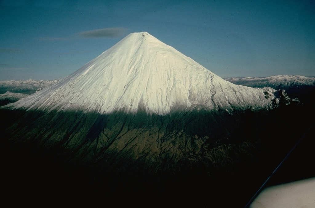
Volcano Sangay
Menjulang dari hutan hujan di tepi Amazon, Sangay telah meletus hampir tanpa jeda setidaknya sejak 1628, menjadikannya salah satu gunung api paling terus-menerus aktif di Bumi. Letaknya begitu terpencil sehingga lama dipantau terutama lewat satelit, namun kolom abunya pada 2020 menaburi kota-kota di beberapa provinsi Ekuador.
Last Eruption
Erupted since 2000
Summit Elevation
Stratovulkan · Andesit / Andesit basal
Seismic State
0 events (1.0x rate)
Interactive Volcano & Seismicity Map
Seismicity within 50 km radius, active VAAC ash plumes, and tectonic plate boundaries.
Recent seismicity within 50 km
0 events in the last 12 h within 25 km of the crater.
| Waktu | Magnitudo | Episenter / Lokasi | Jarak |
|---|---|---|---|
| 23d yang lalu | M4.1 | 27 km WSW of Palora, Ecuador | 30 km |
| 62d yang lalu | M3.2 | ECUADOR (QUI) | 39 km |
Geological & Tectonic Profile
StratovulkanSangay is an active Stratovolcano formed in an active Subduction zone / Continental crust (> 25 km). Dominant lithology: Andesite / Basaltic Andesite.
Volcanic Dossier
VN #352090Official catalogue parameters, coordinates, elevation and geotectonic classification.
Authoritative Monitoring Infrastructure
Pertanyaan yang Sering Diajukan (FAQ)
Protokol ilmiah, operasional, dan darurat terverifikasi
Catalogue: Smithsonian Institution, Global Volcanism Program.Smithsonian GVP profile