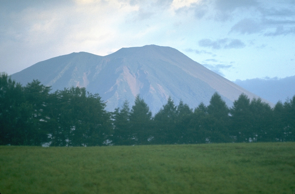
Volcano Monte Iwate
Llamado el «Fuji de Nanbu», este cono de 2.038 m domina la ciudad de Morioka. Su colada de lava de Yakehashiri, de 1732, sigue tan desnuda que está protegida como monumento natural nacional, y en 1998 enjambres sísmicos y la hinchazón de la montaña cerraron sus senderos durante años: un susto que lo convirtió en uno de los volcanes más vigilados de Japón.
Last Eruption
Erupted in the 20th century
Summit Elevation
Complejo volcánico · Basalto / Picrobasalto
Seismic State
0 events (1.0x rate)
Interactive Volcano & Seismicity Map
Seismicity within 50 km radius, active VAAC ash plumes, and tectonic plate boundaries.
Recent seismicity within 50 km
0 events in the last 12 h within 25 km of the crater.
| Hora | Magnitud | Epicentro / Ubicación | Distancia |
|---|---|---|---|
| 3d hace | M4.3 | 15 km NNE of Semboku, Japan | 19 km |
| 56d hace | M2.7 | 秋田県内陸北部, Japan | 38 km |
| 63d hace | M3.5 | EASTERN HONSHU, JAPAN (JMA) | 38 km |
Geological & Tectonic Profile
Complejo volcánicoMonte Iwate is an active Complex formed in an active Subduction zone / Continental crust (> 25 km). Dominant lithology: Basalt / Picro-Basalt.
Volcanic Dossier
VN #283240Official catalogue parameters, coordinates, elevation and geotectonic classification.
Authoritative Monitoring Infrastructure
Costa de Sanriku y Tohoku
Explore live seismic monitoring, historical danger benchmarks, fault slip models and recurrence intervals for Costa de Sanriku y Tohoku.
Abrir centro regionalPreguntas Frecuentes (FAQ)
Protocolos científicos, operativos y de emergencia verificados
Catalogue: Smithsonian Institution, Global Volcanism Program.Smithsonian GVP profile