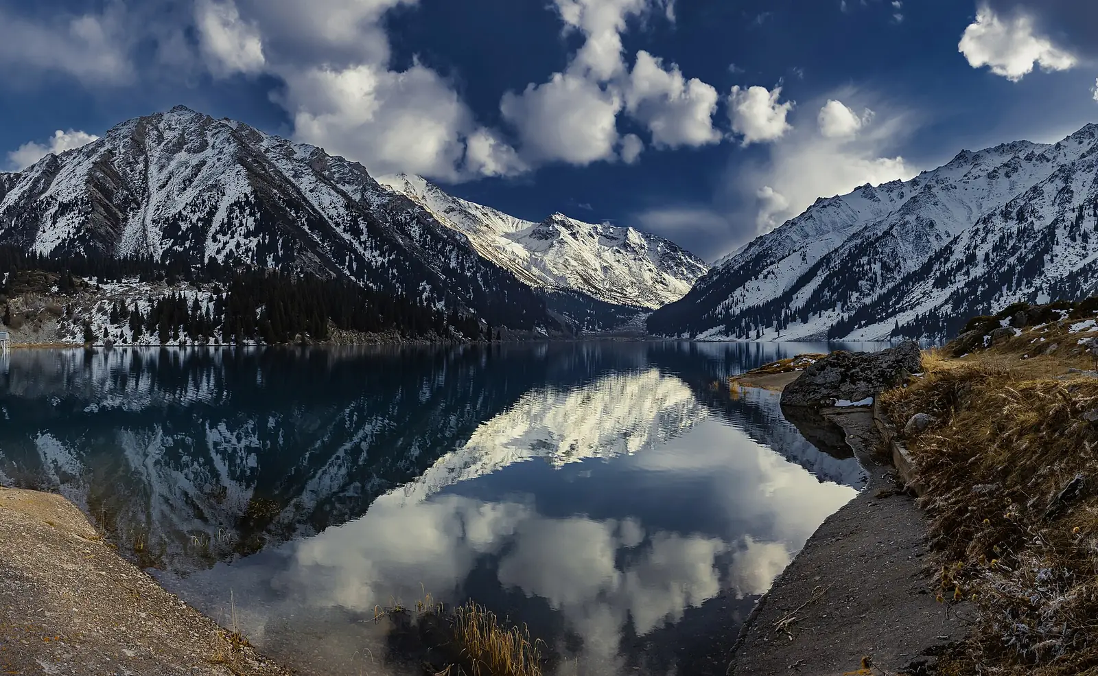
Αλμάτι και βόρειο Τιέν Σαν
Το Αλμάτι είναι χτισμένο σε κώνους αλλουβιακών κορημάτων ακριβώς κάτω από την επιβλητική οροσειρά Zailiyskiy Alatau, όπου η σύγκρουση Ινδίας-Ευρασίας προκαλεί έντονη ενδοηπειρωτική ώθηση. Ισοπεδώθηκε από τους μεγασεισμούς του Verny το 1887 (M7.3) και του Chon-Kemin το 1911 (Mw 8.2).
Danger Level (72h)
72-hour composite hazard forecast
Recent Quakes (14d)
Recorded in the selected 14d period
Max Magnitude (14d)
Largest earthquake in the selected 14d period
Tectonic Profile
Seismotectonic hazard assessment, structural exposure & historical context
Click to locate on map
8.1M
Living within seismically active radius (~300 km)
Moderate
Mixed construction stock with regional engineering standards
Convergent Margin
Active fault boundary with frequent seismicity
171 km ΝΑ του Φεργκάνα (Τατζικιστάν)
Seismic Activity
Every recorded earthquake in this area — filter by time range and sort by time or severity.