Volcano Dossier•GVP #352010
0.08°S, 77.66°W
Erupted since 2000
Volcano 雷文塔多火山
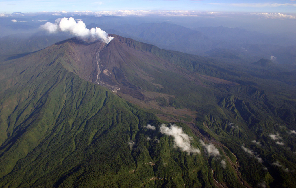
这是一座陡峭的层状火山,位于厄瓜多尔安第斯山脉林木茂密的东坡、基多以东约90公里处,矗立在一个朝亚马孙盆地敞开的马蹄形破火山口内。2002年11月的爆炸性喷发使基多降下火山灰、首都机场关闭;自2008年以来它几乎从未停歇,频繁爆炸、喷出火山灰柱,熔岩沿山坡流下。
Last Eruption
2026
Erupted since 2000
Summit Elevation
3.6 km
复合成层火山 · 安山岩 / 玄武安山岩
Seismic State
Normal Baseline
0 events (1.0x rate)
Interactive Volcano & Seismicity Map
Seismicity within 50 km radius, active VAAC ash plumes, and tectonic plate boundaries.
Recent seismicity within 50 km
0 events in the last 12 h within 25 km of the crater.
| 时间 | 震级 | 震中 / 地点 | 距离 |
|---|---|---|---|
| 1mo ago | M2.2 | 特纳东北81公里(厄瓜多尔) | 29 km |
Geological & Tectonic Profile
复合成层火山雷文塔多火山 is an active Stratovolcano formed in an active Subduction zone / Continental crust (> 25 km). Dominant lithology: Andesite / Basaltic Andesite.
Edifice Type复合成层火山
Major Rock安山岩 / 玄武安山岩
Tectonic Setting俯冲带
Volcanic Arc北安第斯火山弧
Volcanic Dossier
VN #352010Official catalogue parameters, coordinates, elevation and geotectonic classification.
国家厄瓜多尔
火山口坐标-0.077°, -77.656°
Summit Elevation3.6 km
Subregion北安第斯火山弧
Catalog SourceSmithsonian GVP (#352010)
Authoritative Monitoring Infrastructure
ICAO Aviation Ash Center
ICAO Volcanic Ash Advisory Network
International Civil Aviation Organization
VAAC Advisory DeskSwarm telemetry correlated across 18 networks against a 30-day baseline.Read Science & Physics →
常见问题(FAQ)
经过验证的科学、运行与应急规程
The most recent eruption of 雷文塔多火山 recorded by the Smithsonian Global Volcanism Program was in 2026.
Catalogue: Smithsonian Institution, Global Volcanism Program.Smithsonian GVP profile