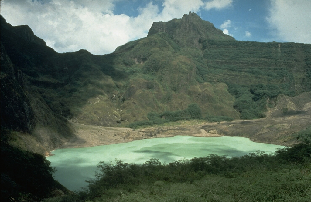
Volcano 克卢德火山
火山口湖使它成为历史上最致命的火山之一:1919年的一次喷发使湖水倾泻而下形成火山泥流,造成约5000人死亡,荷兰工程师随后在火山口壁上开凿了排水隧道。2014年2月,一次短暂而猛烈的喷发使火山灰遍布爪哇,七座机场关闭,约10万人被迫撤离。
Last Eruption
Erupted since 2000
Summit Elevation
复合成层火山 · 安山岩 / 玄武安山岩
Seismic State
0 events (1.0x rate)
Interactive Volcano & Seismicity Map
Seismicity within 50 km radius, active VAAC ash plumes, and tectonic plate boundaries.
Recent seismicity within 50 km
0 events in the last 12 h within 25 km of the crater.
No catalogued earthquakes within 50 km in the last 90 days.
Geological & Tectonic Profile
复合成层火山克卢德火山 is an active Stratovolcano formed in an active Subduction zone / Continental crust (> 25 km). Dominant lithology: Andesite / Basaltic Andesite.
Volcanic Dossier
VN #263280Official catalogue parameters, coordinates, elevation and geotectonic classification.
Authoritative Monitoring Infrastructure
爪哇岛与巽他海峡
Explore live seismic monitoring, historical danger benchmarks, fault slip models and recurrence intervals for 爪哇岛与巽他海峡.
打开区域监控中心常见问题(FAQ)
经过验证的科学、运行与应急规程
Catalogue: Smithsonian Institution, Global Volcanism Program.Smithsonian GVP profile