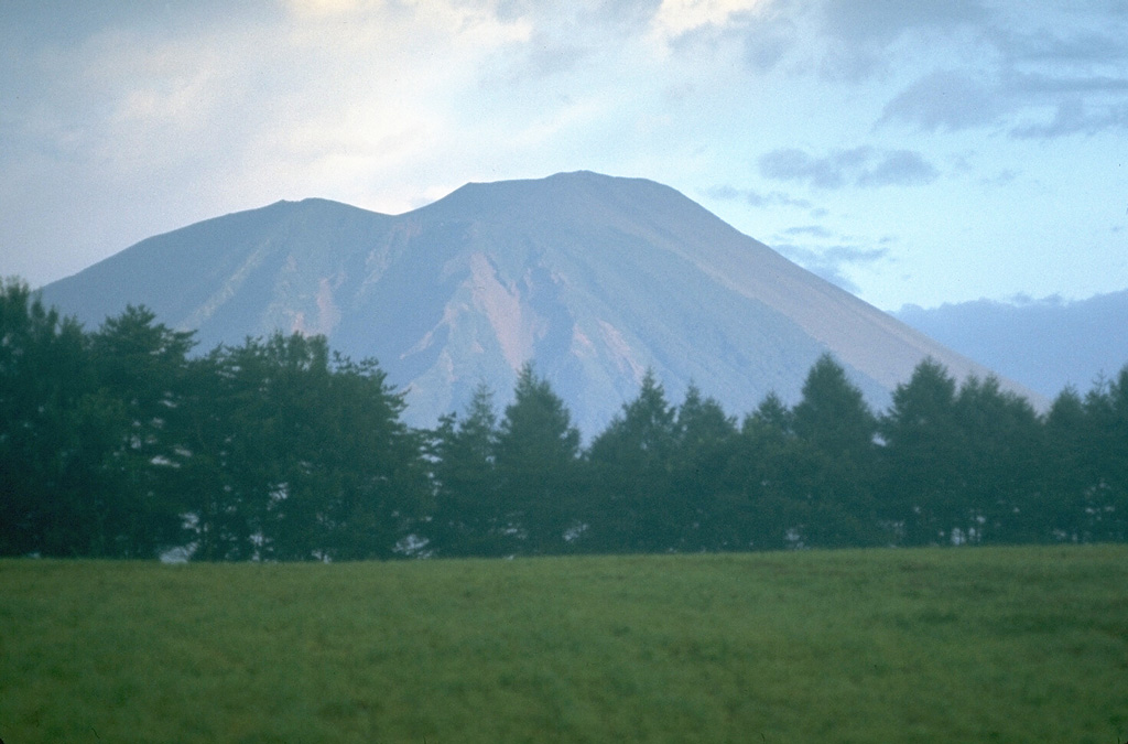
Volcano 岩手山
这座海拔2038米的火山锥被称为“南部富士”,俯瞰着盛冈市。1732年的烧走熔岩流至今仍几乎寸草不生,被列为国家天然纪念物;1998年,密集的地震群和山体膨胀使登山道关闭多年,这次虚惊使它成为日本监测最严密的火山之一。
Last Eruption
Erupted in the 20th century
Summit Elevation
复合火山 · 玄武岩 / 苦橄玄武岩
Seismic State
0 events (1.0x rate)
Interactive Volcano & Seismicity Map
Seismicity within 50 km radius, active VAAC ash plumes, and tectonic plate boundaries.
Recent seismicity within 50 km
0 events in the last 12 h within 25 km of the crater.
| 时间 | 震级 | 震中 / 地点 | 距离 |
|---|---|---|---|
| 3d 前 | M4.3 | 15 km NNE of Semboku, Japan | 19 km |
| 56d 前 | M2.7 | 秋田県内陸北部, Japan | 38 km |
| 63d 前 | M3.5 | EASTERN HONSHU, JAPAN (JMA) | 38 km |
Geological & Tectonic Profile
复合火山岩手山 is an active Complex formed in an active Subduction zone / Continental crust (> 25 km). Dominant lithology: Basalt / Picro-Basalt.
Volcanic Dossier
VN #283240Official catalogue parameters, coordinates, elevation and geotectonic classification.
Authoritative Monitoring Infrastructure
三陆与东北海岸
Explore live seismic monitoring, historical danger benchmarks, fault slip models and recurrence intervals for 三陆与东北海岸.
打开区域监控中心常见问题(FAQ)
经过验证的科学、运行与应急规程
Catalogue: Smithsonian Institution, Global Volcanism Program.Smithsonian GVP profile