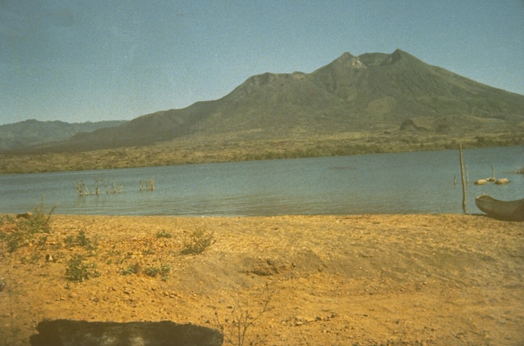
Volcano 巴图尔火山
位于巴厘岛高地一座巨大双重破火山口内的年轻火山锥,旁边是岛上最大的火山湖。1926年喷发的熔岩掩埋了巴图尔村及其神庙,村庄和神庙后来在破火山口边缘重建;它最近一次喷发是在2000年,如今每天都有数千名徒步者在黎明前登顶,观看太阳从阿贡山后升起。
Last Eruption
Erupted since 2000
Summit Elevation
破火山口 · 安山岩 / 玄武安山岩
Seismic State
0 events (1.0x rate)
Interactive Volcano & Seismicity Map
Seismicity within 50 km radius, active VAAC ash plumes, and tectonic plate boundaries.
Recent seismicity within 50 km
0 events in the last 12 h within 25 km of the crater.
| 时间 | 震级 | 震中 / 地点 | 距离 |
|---|---|---|---|
| 16d 前 | M3.2 | BALI REGION, INDONESIA (BMKG) | 24 km |
| 77d 前 | M2.6 | BALI REGION, INDONESIA (BMKG) | 23 km |
| 81d 前 | M2.5 | BALI REGION, INDONESIA (BMKG) | 50 km |
Geological & Tectonic Profile
破火山口巴图尔火山 is an active Caldera formed in an active Subduction zone / Continental crust (> 25 km). Dominant lithology: Andesite / Basaltic Andesite.
Volcanic Dossier
VN #264010Official catalogue parameters, coordinates, elevation and geotectonic classification.
Authoritative Monitoring Infrastructure
印度尼西亚
Explore live seismic monitoring, historical danger benchmarks, fault slip models and recurrence intervals for 印度尼西亚.
Earthquakes in 印度尼西亚 →常见问题(FAQ)
经过验证的科学、运行与应急规程
Catalogue: Smithsonian Institution, Global Volcanism Program.Smithsonian GVP profile