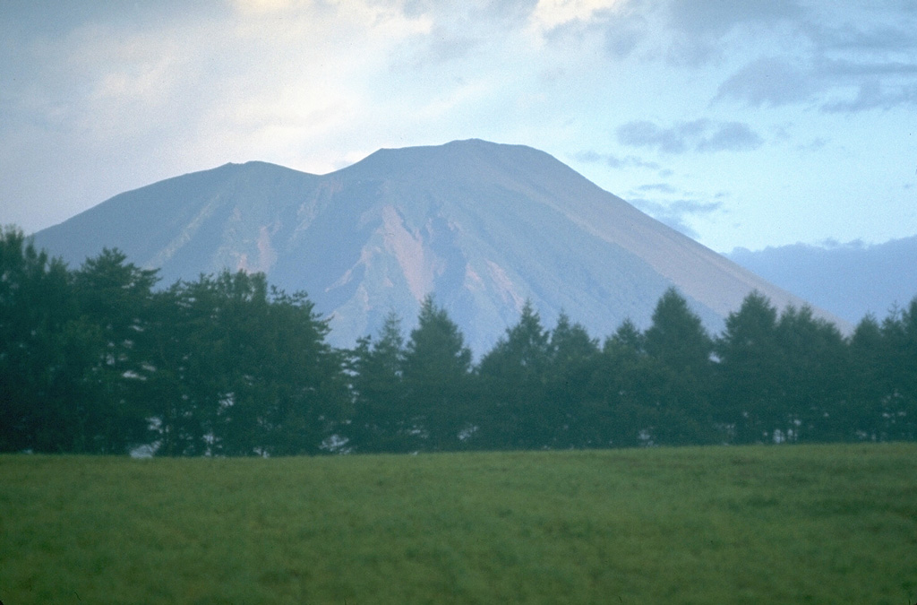
Volcano इवाते पर्वत
'नानबू फ़ूजी' कहलाने वाला यह 2,038 मीटर ऊँचा शंकु मोरिओका शहर के ऊपर खड़ा है। 1732 का याकेहाशिरी लावा प्रवाह आज भी इतना वनस्पति-रहित है कि इसे राष्ट्रीय प्राकृतिक स्मारक के रूप में संरक्षित किया गया है, और 1998 में भूकंपों के झुंड और पर्वत के फूलने से इसके रास्ते वर्षों तक बंद रहे — इसी चेतावनी ने इसे जापान के सबसे बारीकी से निगरानी वाले ज्वालामुखियों में शामिल कर दिया।
Last Eruption
Erupted in the 20th century
Summit Elevation
जटिल ज्वालामुखी · बेसाल्ट / पिक्रो-बेसाल्ट
Seismic State
0 events (1.0x rate)
Interactive Volcano & Seismicity Map
Seismicity within 50 km radius, active VAAC ash plumes, and tectonic plate boundaries.
Recent seismicity within 50 km
0 events in the last 12 h within 25 km of the crater.
| समय | तीव्रता | उपरिकेंद्र / स्थान | दूरी |
|---|---|---|---|
| 3d पहले | M4.3 | 15 km NNE of Semboku, Japan | 19 km |
| 56d पहले | M2.7 | 秋田県内陸北部, Japan | 38 km |
| 63d पहले | M3.5 | EASTERN HONSHU, JAPAN (JMA) | 38 km |
Geological & Tectonic Profile
जटिल ज्वालामुखीइवाते पर्वत is an active Complex formed in an active Subduction zone / Continental crust (> 25 km). Dominant lithology: Basalt / Picro-Basalt.
Volcanic Dossier
VN #283240Official catalogue parameters, coordinates, elevation and geotectonic classification.
Authoritative Monitoring Infrastructure
सानरिकु और तोहोकू तट
Explore live seismic monitoring, historical danger benchmarks, fault slip models and recurrence intervals for सानरिकु और तोहोकू तट.
क्षेत्रीय हब खोलेंअक्सर पूछे जाने वाले प्रश्न (FAQ)
सत्यापित वैज्ञानिक, परिचालन और आपातकालीन प्रोटोकॉल
Catalogue: Smithsonian Institution, Global Volcanism Program.Smithsonian GVP profile