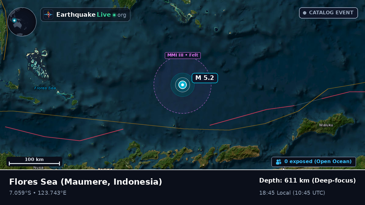
M 5.2 Earthquake: Flores Sea (Maumere, Indonesia) — February 3, 1976
M 5.2 Earthquake: Flores Sea (Maumere, Indonesia) — February 3, 1976. Epicenter 242 km NE of Maumere, depth 611 km, 18:45 Local (1976-02-03 10:45 UTC). Readings from every reporting agency, affected towns, aftershock sequence.
Flores Sea (242 km NE of Maumere, Indonesia) — -7.059, 123.743