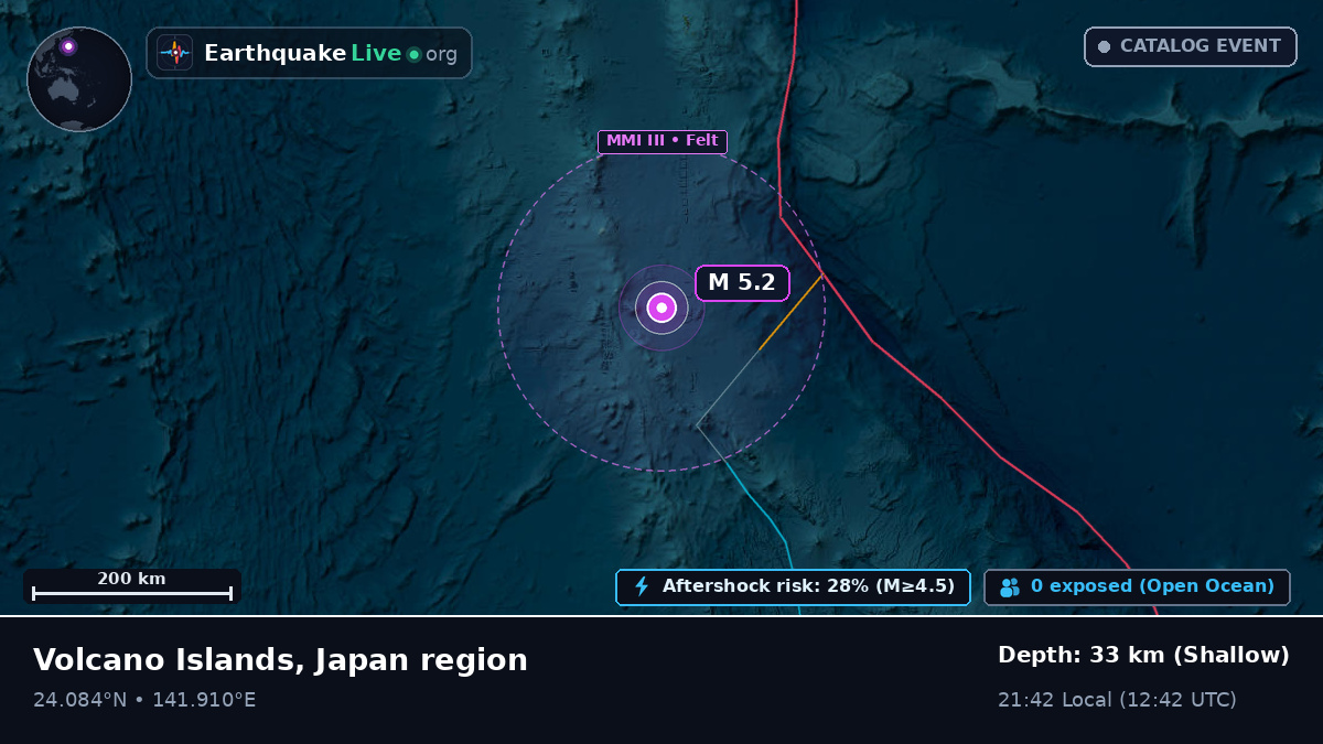
M 5.2 Earthquake: Philippine Sea (Capitol Hill, Northern Mariana Islands) — September 14, 1986
M 5.2 Earthquake: Philippine Sea (Capitol Hill, Northern Mariana Islands) — September 14, 1986. Epicenter 1065 km N of Capitol Hill, depth 33 km, 21:42 Local (1986-09-14 12:42 UTC). Readings from every reporting agency, affected towns, aftershock sequence.
Philippine Sea (1065 km N of Capitol Hill, Northern Mariana Islands) — 24.084, 141.91