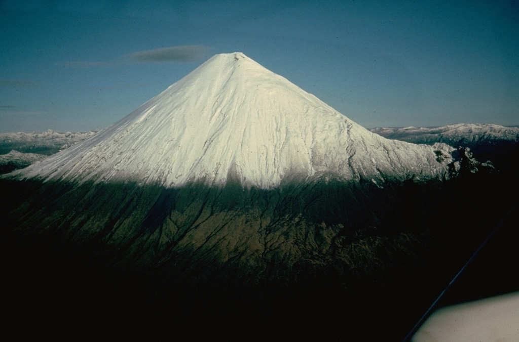
Volcano Sangay
Der aus dem Regenwald am Rand des Amazonas aufragende Sangay bricht seit mindestens 1628 fast ohne Pause aus und ist damit einer der beständigsten aktiven Vulkane der Erde. Er liegt so abgelegen, dass er lange vor allem per Satellit beobachtet wurde, doch seine Aschewolken bestäubten 2020 Orte in mehreren Provinzen Ecuadors.
Last Eruption
Erupted since 2000
Summit Elevation
Stratovulkan · Andesit / Basaltandesit
Seismic State
0 events (1.0x rate)
Interactive Volcano & Seismicity Map
Seismicity within 50 km radius, active VAAC ash plumes, and tectonic plate boundaries.
Recent seismicity within 50 km
0 events in the last 12 h within 25 km of the crater.
| Zeit | Magnitude | Epizentrum / Ort | Entfernung |
|---|---|---|---|
| 23d her | M4.1 | 27 km WSW of Palora, Ecuador | 30 km |
| 62d her | M3.2 | ECUADOR (QUI) | 39 km |
Geological & Tectonic Profile
StratovulkanSangay is an active Stratovolcano formed in an active Subduction zone / Continental crust (> 25 km). Dominant lithology: Andesite / Basaltic Andesite.
Volcanic Dossier
VN #352090Official catalogue parameters, coordinates, elevation and geotectonic classification.
Authoritative Monitoring Infrastructure
Häufig gestellte Fragen (FAQ)
Geprüfte wissenschaftliche, operative und Notfallprotokolle
Catalogue: Smithsonian Institution, Global Volcanism Program.Smithsonian GVP profile