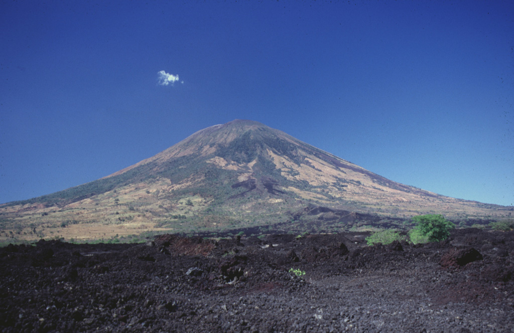
Volcano San Miguel (Chaparrastique)
Der von Einheimischen Chaparrastique genannte, ebenmäßige Kegel erhebt sich über der salvadorianischen Stadt San Miguel und zählt mit seit dem 16. Jahrhundert belegten Lavaströmen zu den aktivsten Vulkanen Mittelamerikas. Eine plötzliche Explosion im Dezember 2013 zwang Tausende Menschen zur Evakuierung, kleinere Ascheausbrüche folgten, zuletzt 2023.
Last Eruption
Erupted since 2000
Summit Elevation
Stratovulkan · Andesit / Basaltandesit
Seismic State
0 events (1.0x rate)
Interactive Volcano & Seismicity Map
Seismicity within 50 km radius, active VAAC ash plumes, and tectonic plate boundaries.
Recent seismicity within 50 km
0 events in the last 12 h within 25 km of the crater.
| Zeit | Magnitude | Epizentrum / Ort | Entfernung |
|---|---|---|---|
| 25d ago | M3.5 | 79 km östlich von San Salvador (El Salvador) | 27 km |
| 25d ago | M3.1 | 79 km östlich von San Salvador (El Salvador) | 27 km |
| 25d ago | M3.1 | 78 km östlich von San Salvador (El Salvador) | 28 km |
Geological & Tectonic Profile
StratovulkanSan Miguel (Chaparrastique) is an active Stratovolcano formed in an active Subduction zone / Continental crust (> 25 km). Dominant lithology: Andesite / Basaltic Andesite.
Volcanic Dossier
VN #343100Official catalogue parameters, coordinates, elevation and geotectonic classification.
Authoritative Monitoring Infrastructure
Häufig gestellte Fragen (FAQ)
Geprüfte wissenschaftliche, operative und Notfallprotokolle
Catalogue: Smithsonian Institution, Global Volcanism Program.Smithsonian GVP profile