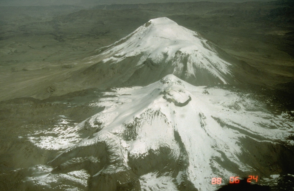
Volcano Sabancaya
Sein Quechua-Name bedeutet „Feuerzunge“, und seit November 2016 bricht dieser Andenvulkan nahe Arequipa fast täglich aus und schickt Asche über das Colca-Tal. Asche eines früheren Ausbruchs in den 1990er-Jahren verdunkelte und schmolz das Eis des benachbarten Ampato und legte 1995 die 500 Jahre alte Inka-Mumie frei, die als Juanita bekannt ist.
Last Eruption
Erupted since 2000
Summit Elevation
Stratovulkan · Andesit / Basaltandesit
Seismic State
0 events (1.0x rate)
Interactive Volcano & Seismicity Map
Seismicity within 50 km radius, active VAAC ash plumes, and tectonic plate boundaries.
Recent seismicity within 50 km
0 events in the last 12 h within 25 km of the crater.
| Zeit | Magnitude | Epizentrum / Ort | Entfernung |
|---|---|---|---|
| 21d her | M4.3 | SOUTHERN PERU (GFZ) | 44 km |
| 27d her | M3.5 | SOUTHERN PERU (LIM) | 28 km |
| 31d her | M3.5 | SOUTHERN PERU (LIM) | 15 km |
| 37d her | M3.3 | SOUTHERN PERU (LIM) | 1.9 km |
| 39d her | M3.5 | SOUTHERN PERU (LIM) | 15 km |
Geological & Tectonic Profile
StratovulkanSabancaya is an active Stratovolcano(es) formed in an active Subduction zone / Continental crust (> 25 km). Dominant lithology: Andesite / Basaltic Andesite.
Volcanic Dossier
VN #354006Official catalogue parameters, coordinates, elevation and geotectonic classification.
Authoritative Monitoring Infrastructure
Peru
Explore live seismic monitoring, historical danger benchmarks, fault slip models and recurrence intervals for Peru.
Earthquakes in Peru →Häufig gestellte Fragen (FAQ)
Geprüfte wissenschaftliche, operative und Notfallprotokolle
Catalogue: Smithsonian Institution, Global Volcanism Program.Smithsonian GVP profile