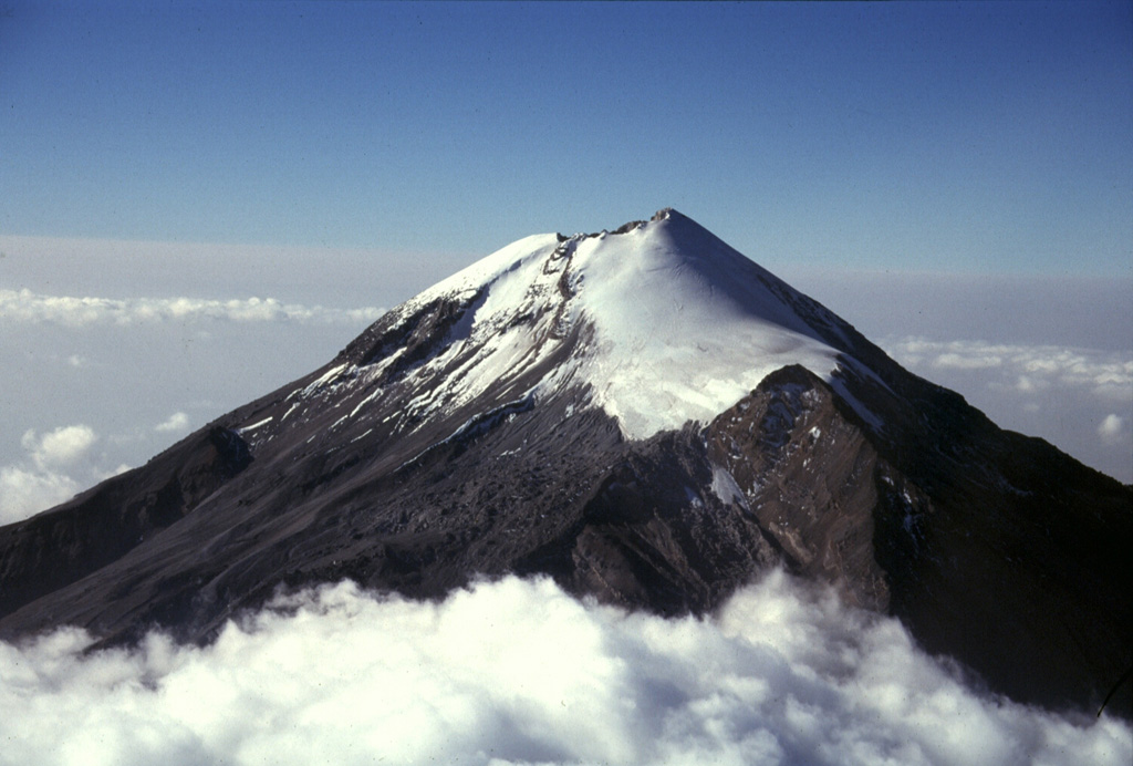
Volcano Pico de Orizaba
Der Citlaltépetl, der „Sternberg“ auf Nahuatl, ist Mexikos höchster Gipfel und der höchste Vulkan Nordamerikas. Seit 1846 ruhig, trägt er noch immer die größten, rasch schwindenden Gletscher des Landes, und ein neuer Ausbruch würde Orte in den Bundesstaaten Puebla und Veracruz zu seinen Füßen bedrohen.
Last Eruption
Historical eruption
Summit Elevation
Stratovulkan · Andesit / Basaltandesit
Seismic State
0 events (1.0x rate)
Interactive Volcano & Seismicity Map
Seismicity within 50 km radius, active VAAC ash plumes, and tectonic plate boundaries.
Recent seismicity within 50 km
0 events in the last 12 h within 25 km of the crater.
| Zeit | Magnitude | Epizentrum / Ort | Entfernung |
|---|---|---|---|
| 9d ago | M3.2 | 18 km südwestlich von Orizaba (Mexiko) | 36 km |
| 1mo ago | M3.3 | 74 km östlich von Puebla (Mexiko) | 24 km |
| 1mo ago | M3.3 | 74 km östlich von Puebla (Mexiko) | 24 km |
| 2mo ago | M3.3 | 55 km östlich von Puebla (Mexiko) | 43 km |
Geological & Tectonic Profile
StratovulkanPico de Orizaba is an active Stratovolcano formed in an active Subduction zone / Continental crust (> 25 km). Dominant lithology: Andesite / Basaltic Andesite.
Volcanic Dossier
VN #341100Official catalogue parameters, coordinates, elevation and geotectonic classification.
Authoritative Monitoring Infrastructure
Tal von Mexiko (Mexiko-Stadt)
Explore live seismic monitoring, historical danger benchmarks, fault slip models and recurrence intervals for Tal von Mexiko (Mexiko-Stadt).
Regionales Zentrum öffnenHäufig gestellte Fragen (FAQ)
Geprüfte wissenschaftliche, operative und Notfallprotokolle
Catalogue: Smithsonian Institution, Global Volcanism Program.Smithsonian GVP profile