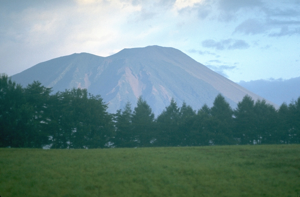
Volcano Iwate
Der als „Nanbu-Fuji“ bekannte, 2.038 m hohe Kegel überragt die Stadt Morioka. Sein Lavastrom Yakehashiri von 1732 ist bis heute so kahl, dass er als nationales Naturdenkmal geschützt ist, und 1998 sperrten Erdbebenschwärme und eine Aufwölbung des Berges seine Wanderwege für Jahre – ein Schreck, der ihn zu einem der am genauesten überwachten Vulkane Japans machte.
Last Eruption
Erupted in the 20th century
Summit Elevation
Vulkankomplex · Basalt / Pikrobasalt
Seismic State
0 events (1.0x rate)
Interactive Volcano & Seismicity Map
Seismicity within 50 km radius, active VAAC ash plumes, and tectonic plate boundaries.
Recent seismicity within 50 km
0 events in the last 12 h within 25 km of the crater.
| Zeit | Magnitude | Epizentrum / Ort | Entfernung |
|---|---|---|---|
| 3d her | M4.3 | 15 km NNE of Semboku, Japan | 19 km |
| 56d her | M2.7 | 秋田県内陸北部, Japan | 38 km |
| 63d her | M3.5 | EASTERN HONSHU, JAPAN (JMA) | 38 km |
Geological & Tectonic Profile
VulkankomplexIwate is an active Complex formed in an active Subduction zone / Continental crust (> 25 km). Dominant lithology: Basalt / Picro-Basalt.
Volcanic Dossier
VN #283240Official catalogue parameters, coordinates, elevation and geotectonic classification.
Authoritative Monitoring Infrastructure
Sanriku & Tohoku-Küste
Explore live seismic monitoring, historical danger benchmarks, fault slip models and recurrence intervals for Sanriku & Tohoku-Küste.
Regionales Zentrum öffnenHäufig gestellte Fragen (FAQ)
Geprüfte wissenschaftliche, operative und Notfallprotokolle
Catalogue: Smithsonian Institution, Global Volcanism Program.Smithsonian GVP profile