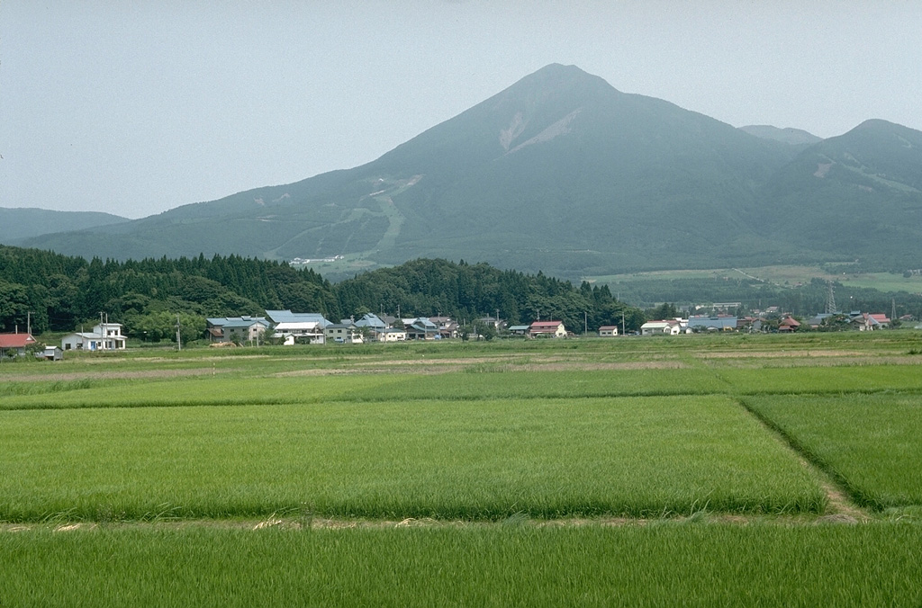
Volcano Bandai
Am 15. Juli 1888 sprengte eine Dampfexplosion die Nordflanke des Berges weg; eine Schuttlawine begrub mehrere Dörfer und tötete rund 477 Menschen. Das Geröll staute Flüsse zu Hunderten Seen und Teichen auf, darunter die farbenprächtigen Goshikinuma, und der Kollaps wurde später zu einem Schlüsselbeispiel für das Verständnis von Mount St. Helens 1980.
Last Eruption
Historical eruption
Summit Elevation
Stratovulkan · Andesit / Basaltandesit
Seismic State
0 events (1.0x rate)
Interactive Volcano & Seismicity Map
Seismicity within 50 km radius, active VAAC ash plumes, and tectonic plate boundaries.
Recent seismicity within 50 km
0 events in the last 12 h within 25 km of the crater.
| Zeit | Magnitude | Epizentrum / Ort | Entfernung |
|---|---|---|---|
| 43d her | M2.5 | 福島県中通り, Japan | 34 km |
Geological & Tectonic Profile
StratovulkanBandai is an active Stratovolcano formed in an active Subduction zone / Continental crust (> 25 km). Dominant lithology: Andesite / Basaltic Andesite.
Volcanic Dossier
VN #283160Official catalogue parameters, coordinates, elevation and geotectonic classification.
Authoritative Monitoring Infrastructure
Sanriku & Tohoku-Küste
Explore live seismic monitoring, historical danger benchmarks, fault slip models and recurrence intervals for Sanriku & Tohoku-Küste.
Regionales Zentrum öffnenHäufig gestellte Fragen (FAQ)
Geprüfte wissenschaftliche, operative und Notfallprotokolle
Catalogue: Smithsonian Institution, Global Volcanism Program.Smithsonian GVP profile